
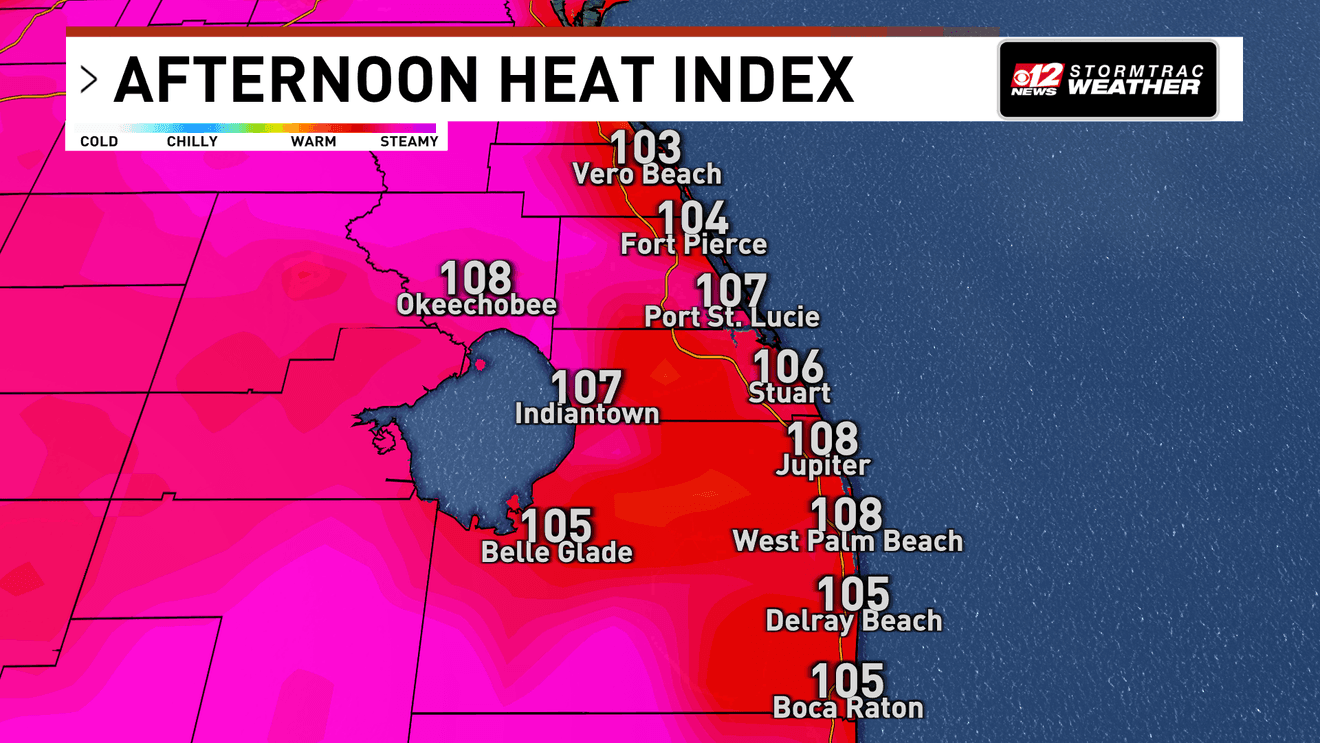
WEST PALM BEACH, Fla. (CBS12) — A prolonged stretch of dangerous heat is beginning across South Florida, with heat index values potentially climbing above 110 degrees today and little meaningful relief expected through at least early next week.
A Heat Advisory is in effect for all of South Florida from 10 a.m. to 8 p.m. Afternoon temperatures will reach the mid to upper 90s, but high humidity will make it feel between 108 and 112 degrees during the hottest part of the day.
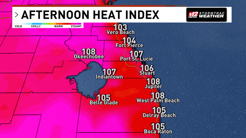
A prolonged stretch of dangerous heat is beginning across South Florida, with heat index values potentially climbing above 110 degrees today and little meaningful relief expected through at least early next week. (WPEC)
This level of heat can affect anyone who spends extended time outdoors without adequate cooling or hydration. Residents and visitors should drink plenty of fluids, wear lightweight and light-colored clothing, take frequent breaks in air conditioning or shade, and try to move strenuous outdoor activities away from the late morning and afternoon hours.
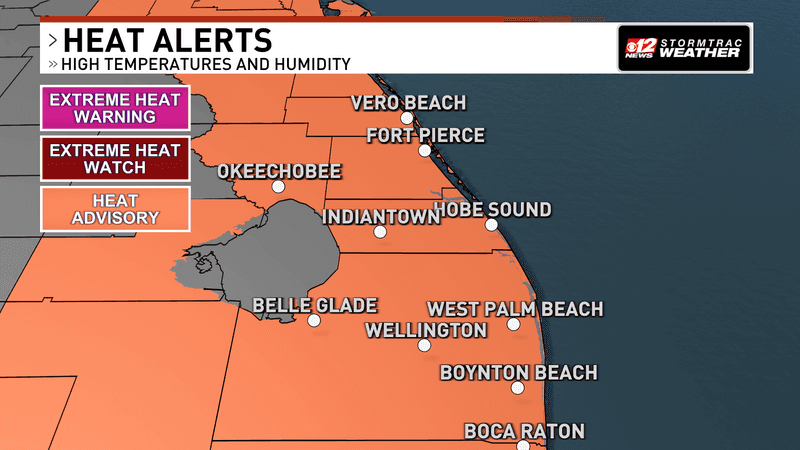
A prolonged stretch of dangerous heat is beginning across South Florida, with heat index values potentially climbing above 110 degrees today and little meaningful relief expected through at least early next week. (WPEC)
Adding to the heat is the Saharan Air Layer, a large area of dry, dusty air that travels thousands of miles across the Atlantic from Africa. That dry air remains higher in the atmosphere over Florida and will help limit the number of cooling afternoon thunderstorms through the weekend.
Isolated to scattered showers and thunderstorms are still expected this afternoon as sea breezes and leftover storm boundaries collide. The drier air above the surface could actually help stronger storms produce gusty winds, with isolated gusts between 30 and 50 mph possible. Frequent lightning and locally heavy rainfall of 1 to 3 inches are also possible before storms fade around sunset.
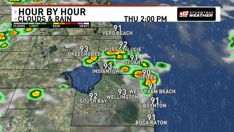
A prolonged stretch of dangerous heat is beginning across South Florida, with heat index values potentially climbing above 110 degrees today and little meaningful relief expected through at least early next week. (WPEC)
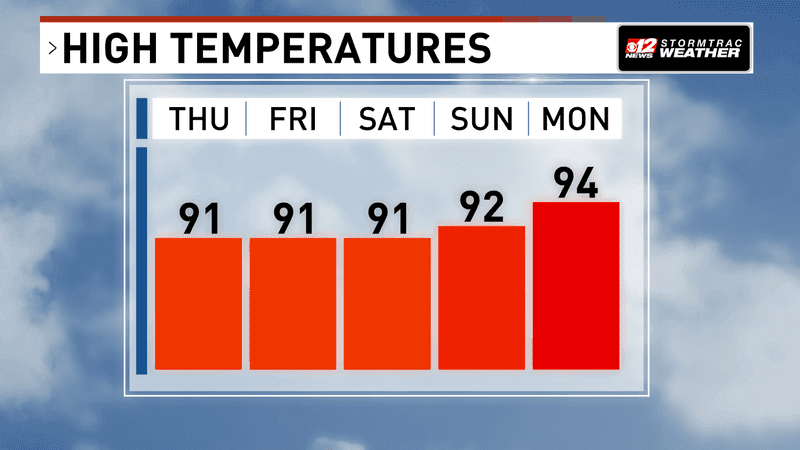
Friday and Saturday bring more of the same: highs in the mid to upper 90s, below-normal rain chances and heat index values potentially reaching 108 to 112 degrees. Additional Heat Advisories are likely, and some areas could experience the highest level of heat-related impacts.
A prolonged stretch of dangerous heat is beginning across South Florida, with heat index values potentially climbing above 110 degrees today and little meaningful relief expected through at least early next week. (WPEC)
Sunday may be even drier, meaning fewer thunderstorms will be available to provide temporary relief from the heat. Overnight temperatures will also remain unusually warm, generally only falling into the mid-70s to around 80 degrees.