
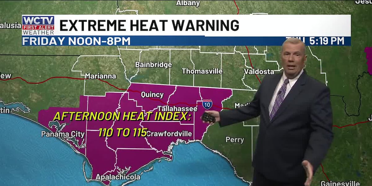
TALLAHASSEE, Fla. (WCTV) – The National Weather Service has issued an extreme heat warning for some of the area tomorrow, while most of us will remain under at LEAST a heat advisory. Feels-like temperatures between 105 and 115.
Most of the day will be rain-free, so HOT and humid until the storms develop in the afternoon.
More heat heading into the weekend, with feels-like temperatures hovering between 105 and 115 both Saturday and Sunday. There is a chance of storms both days, which should cool us down at some point during the day.
The heat does not go away next week. In fact, we may see our hottest temps of this stretch nearing 99-100 degrees. Humidity, of course, will make it feel about 10 to 15 degrees warmer. Afternoon shower and storm chances continue as well.
To stay updated on all the latest forecasts and weather, follow WCTV First Alert Weather on Facebook and X (Twitter).
Click here to see all the latest weather headlines and here to view the First Alert Radar. Receive push alerts and watch the latest forecast anytime on the free WCTV First Alert Weather app. Click here to download it now.
Interested in becoming a WCTV First Alert Weather Watcher? Click here to join the team!
Copyright 2026 WCTV. All rights reserved.