
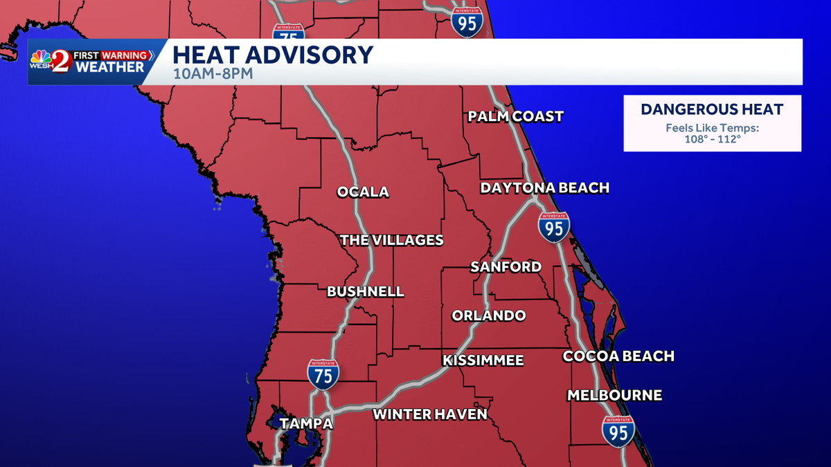
Impact Weather: Central Florida braces for dangerous heat as feels-like temps top 100 degrees
ORLANDO, Fla. —
The First Warning Weather Team is tracking Impact Weather as Central Florida braces for another day of dangerous heat on Saturday.
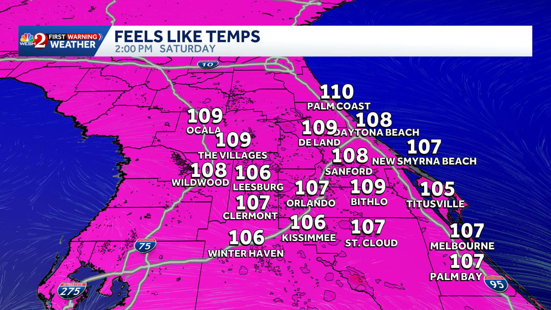
Central Florida heat index could hit 112
Heat index values are expected to climb into the triple digits, with heat advisories in effect across the entire region from 10 a.m. to 8 p.m.
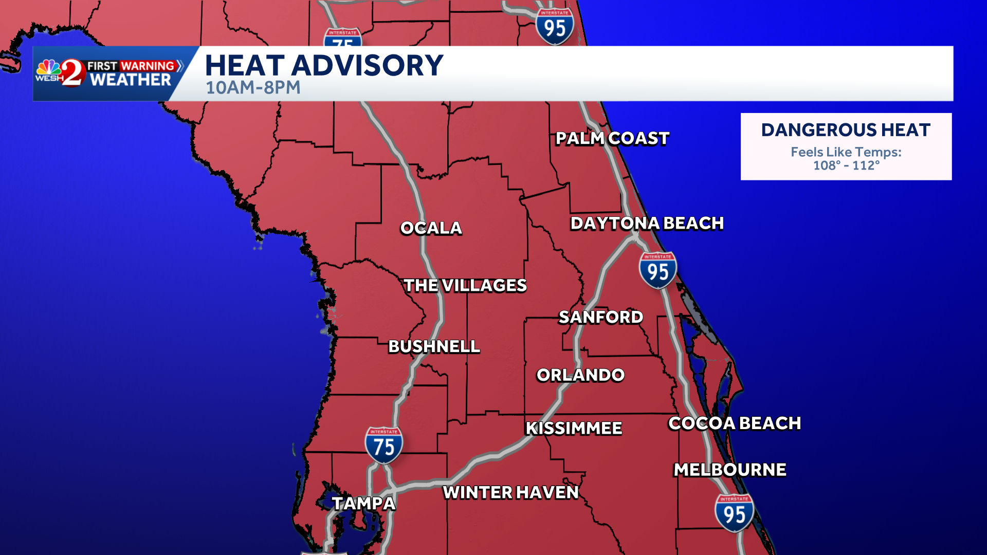
A Heat Advisory has been issued for all of Central Florida, from 10 a.m. through 8 p.m., due to dangerous heat.
The dangerous heat is being fueled by the combination of temperatures and humidity.
The heat index will range from 108 degrees to 112 degrees.
 Heat safety tips
To remain safe in the heat, people are encouraged to drink plenty of fluids, stay out of the sun, and, if possible, reschedule strenuous activities for the early morning or evening.
Saturday storms in Central Florida
Meanwhile, general showers and thunderstorms are expected this afternoon, with rain developing around 3 p.m. Any heavier downpours are more likely to develop closer to 6 p.m.
>> What is Impact Weather?
Impact Weather suggests weather conditions could be disruptive or a nuisance for travel and day-to-day activities.
First Warning Weather
Stay with WESH 2 online and on-air for the most accurate Central Florida weather forecast.
Download the WESH 2 News app to get the most up-to-date weather alerts.
The First Warning Weather team includes First Warning Chief Meteorologist Tony Mainolfi, Eric Burris, Cam Tran, Victoria Wisniewski and Luke Vickery.