
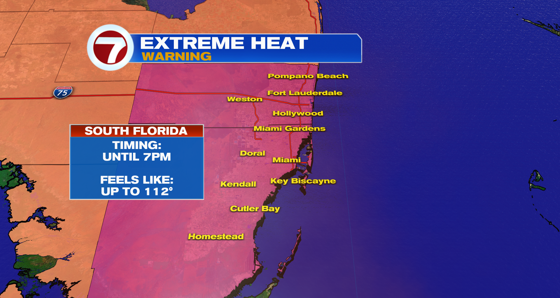
(WSVN) – An Extreme Heat Warning — the first one issued in about two years — is in effect for all of Miami-Dade and Broward Counties until 7PM Wednesday for dangerous feels-like temperatures up to 112F.
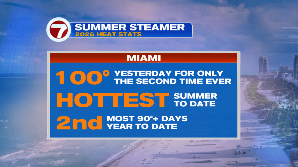
This follows the all-time record high of 100F reached at Miami International Airport on Tuesday as this very hot summer continues.
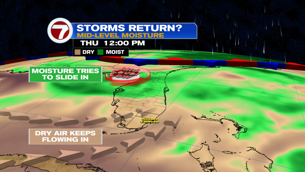
Besides the heat for the rest of today, isolated thunderstorms will be possible through around sunset, although dry air will be a limiting factor in seeing numerous storms develop.
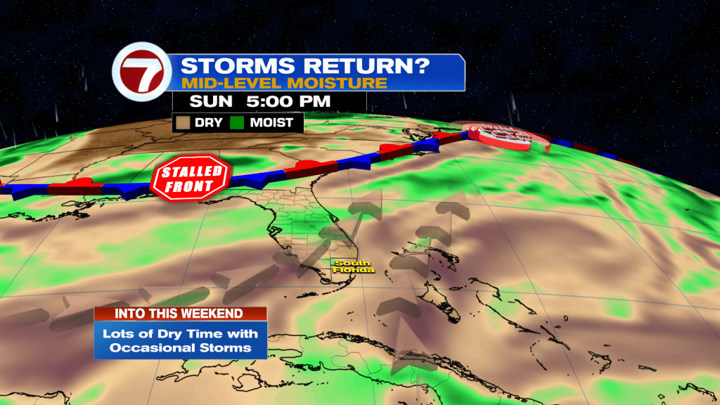
That will remain a factor going forward the rest of this week too. With that said, rain chances will rise to a 50% chance for Thursday afternoon as scattered showers and storms are expected, which should be short-lived.
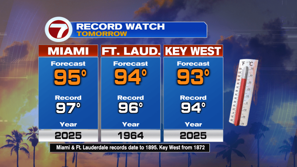
Otherwise, it will still be hot with highs in the mid 90s, which will near records once again.
Thursday will be more of a transition day, however, as an initial land wind gives way to ocean air for the afternoon, limiting extreme temperatures like on Tuesday.
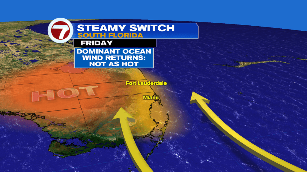
This theme of ocean air out of the south and southeast wind direction will persist into this weekend too, so it will still be hot and humid but not record-breaking.
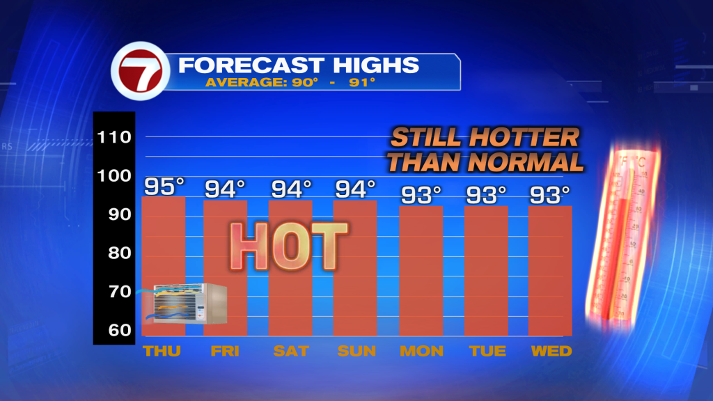
Speaking of the weekend, the heat will remain the main story. There will only be the low chance for seeing a shower or storm, especially midday.
 Tropical update
The Atlantic basin remains quiet and no development is expected within at least the next 7 days.
Copyright 2026 Sunbeam Television Corp. All rights reserved. This material may not be published, broadcast, rewritten or redistributed.
Join our Newsletter for the latest news right to your inbox