
Impact Weather: Dangerous heat index, gusty winds and hail possible across Central Florida
ORLANDO, Fla. —
The stretch of dangerous heat index values will continue across Central Florida on Thursday, but increasing rain coverage could offer some relief.
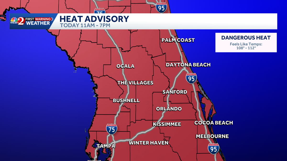
Heat advisories have been issued across the region from 11 a.m. through 7 p.m. as the heat index reaches 108 degrees or higher.
This content is imported from x. You may be able to find the same content in another format, or you may be able to find more information, at their web site.
Apart from heat, residents should expect a high likelihood of showers and storms with 70% coverage. Gusty winds and hail will be the main concern.
The next few days will remain stormy, which will help bring the heat down toward average levels.
>> What is Impact Weather?
Impact Weather suggests weather conditions could be disruptive or a nuisance for travel and day-to-day activities.
First Warning Weather
Stay with WESH 2 online and on-air for the most accurate Central Florida weather forecast.
Download the WESH 2 News app to get the most up-to-date weather alerts.
The First Warning Weather team includes First Warning Chief Meteorologist Tony Mainolfi, Eric Burris, Cam Tran, Victoria Wisniewski and Luke Vickery.