
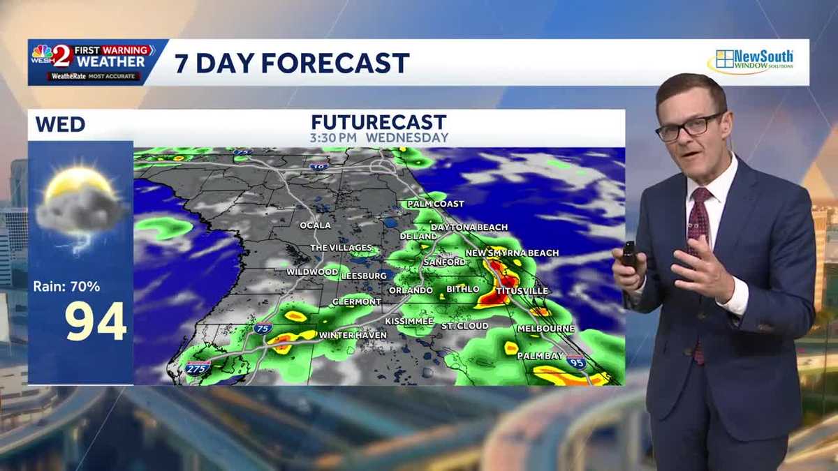
Pattern turning much wetter across Central Florida, highs reaching mid-90s
 ORLANDO, Fla. —
Storms are expected to develop later today, with a 70% chance of showers and highs reaching the mid-90s.
The active weather pattern will persist over the next few days, with high rain chances continuing through the weekend.
There is one area of interest in the tropics, Invest 96L, with a high chance of developing.
There is no threat to us for now, but its future will be worth watching due to weak wind shear.
First Warning Weather
Stay with WESH 2 online and on-air for the most accurate Central Florida weather forecast.
Download the WESH 2 News app to get the most up-to-date weather alerts.
The First Warning Weather team includes First Warning Chief Meteorologist Tony Mainolfi, Eric Burris, Cam Tran, Victoria Wisniewski and Luke Vickery.