
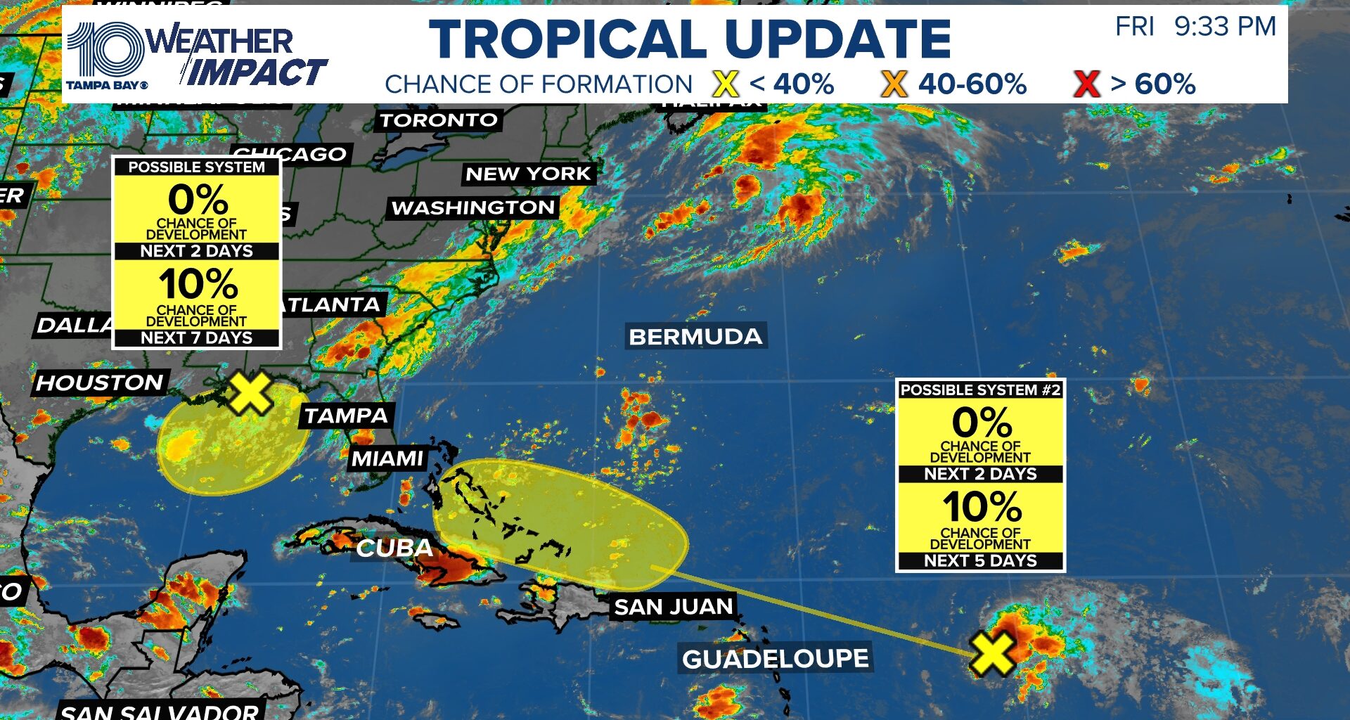
Remnants of Dolly could have a brief window to redevelop, while a weak Gulf low is being monitored for possible slow development.
TAMPA, Fla. — The National Hurricane Center (NHC) is keeping an eye on two areas of interest in the tropics, including the remnants of Tropical Storm Dolly and a weak area of low pressure over the Gulf of America.
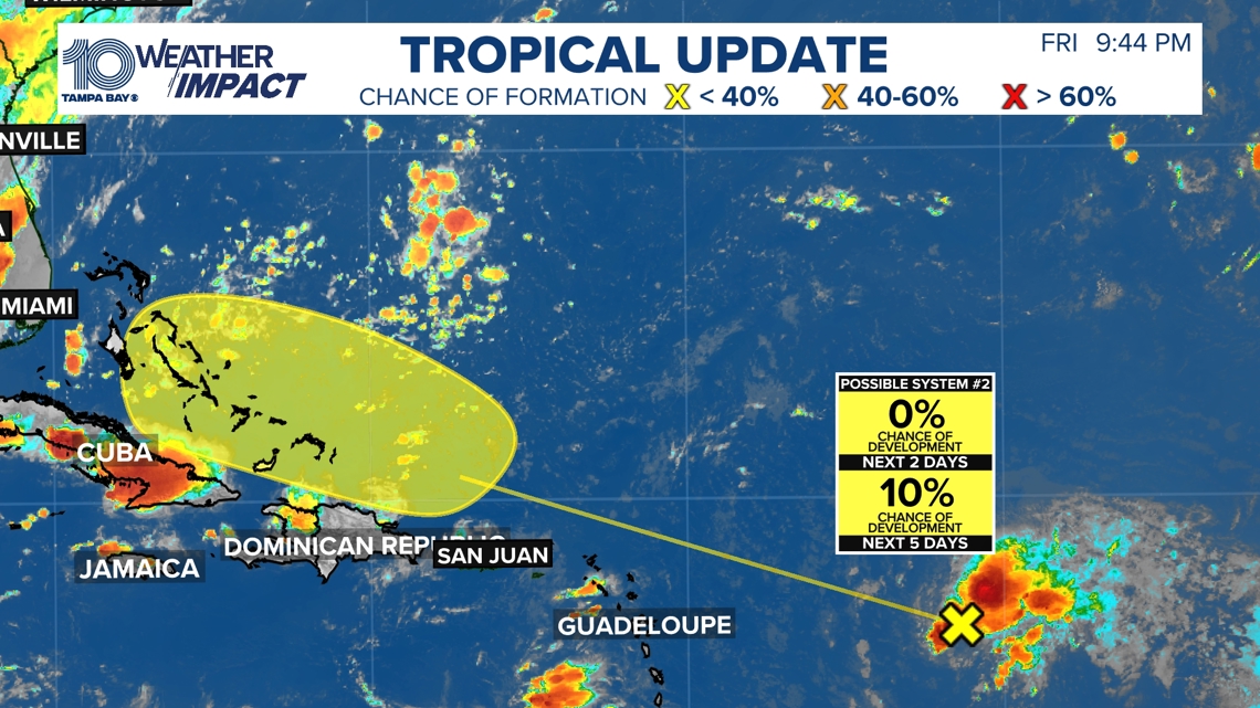
The remnants of Dolly are located several hundred miles east of the Leeward Islands and are moving quickly westward to west-northwestward. The NHC gives the system just a 10% chance of tropical development over the next seven days, with near-zero odds over the next 48 hours.

This story continues below.
While redevelopment is unlikely, it is not completely off the table. There is a small window ahead where wind shear could temporarily become lighter, potentially giving Dolly’s remnants a chance to organize before conditions become less favorable again. Regardless, this does not change our forecast locally, with higher rain coverage still expected across the area this weekend.
The second area being monitored is in the northeastern and north-central Gulf, where disorganized showers and thunderstorms are associated with a weak area of low pressure in the mid- to upper levels of the atmosphere. With warm Gulf waters and relatively low wind shear, any persistent thunderstorms that can develop and hold together over the water could help the system gradually acquire more tropical characteristics.
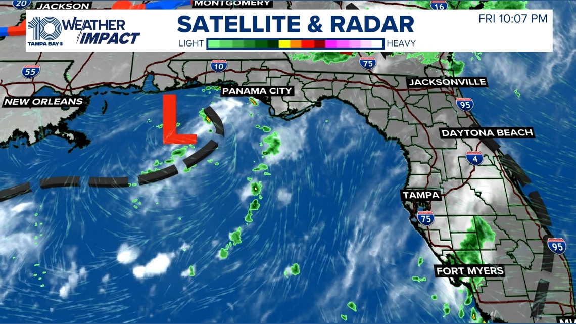
For now, the NHC gives this Gulf disturbance a 10% chance of development over the next seven days, with near-zero odds over the next 48 hours. Development is expected to be slow, if it occurs at all, as the system remains nearly stationary over the next several days.
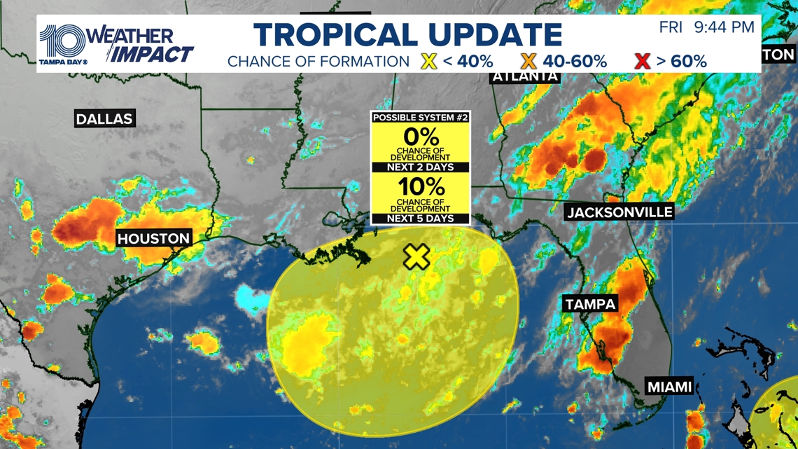
Bottom line: Neither disturbance poses an immediate threat to Florida. The Gulf system will be worth watching because of the favorable water temperatures and low shear, but there are currently no signs of a rapidly developing system. The bigger story for us locally remains the higher rain coverage expected this weekend.