
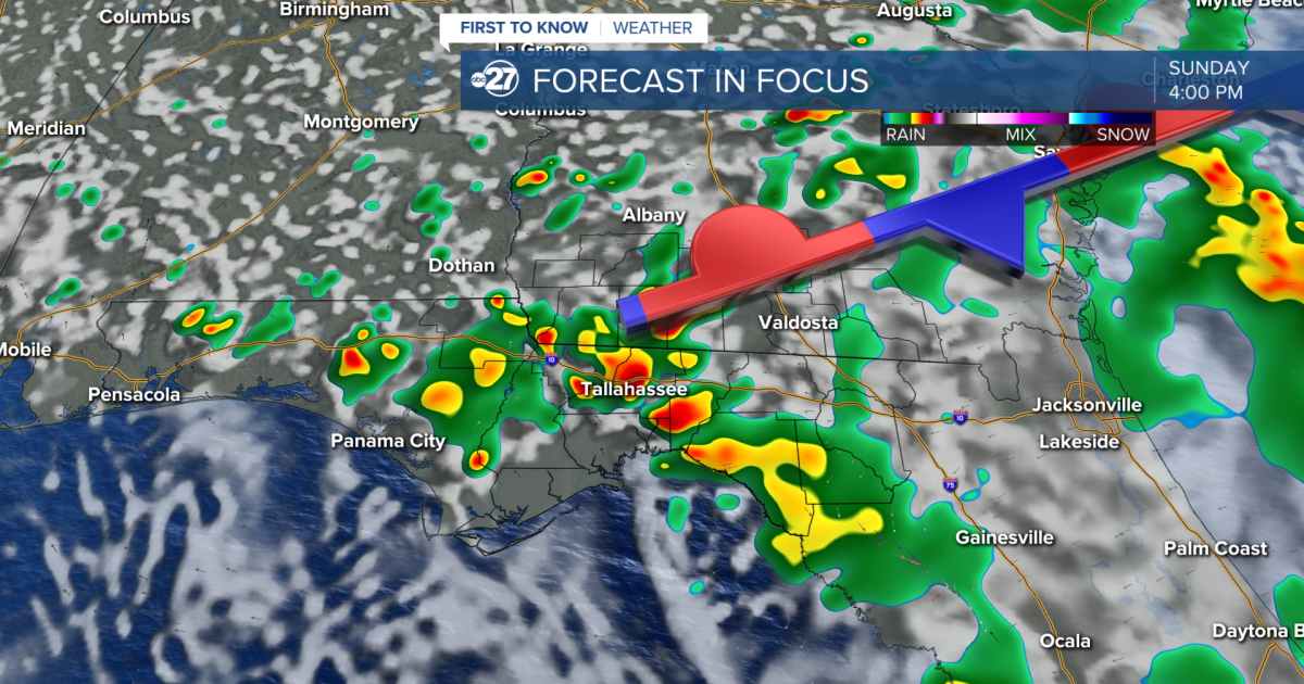
TALLAHASSEE, FL (WTXL) — Expect another scattering of showers and storms through Sunday, however, more sunshine will be peaking through the clouds.
The stalled front will start to break apart Sunday allowing for less cloud coverage and more sunshine, but the showers will stick around. An additional 1-2″ of rainfall is possible through Sunday.
As the front breaks and a high pressure builds to our north, temperatures will start to rise yet again.
We will reintroduce the mid 90s by Wednesday and some neighborhoods could see the upper 90s towards the end of the week.
Feels like temperatures will be close to heat advisory criteria (108°). In the past 20 years, only two heat advisories have been issued in the month of September for our area. So this would be a rare event, but it is possible.
We will keep the rain activity around, however, it will become more isolated throughout the week.
Want to see more local news? Visit the WTXL ABC 27 Website.
Stay in touch with us anywhere, anytime.