
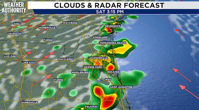
Stronger storms late afternoon, early evening
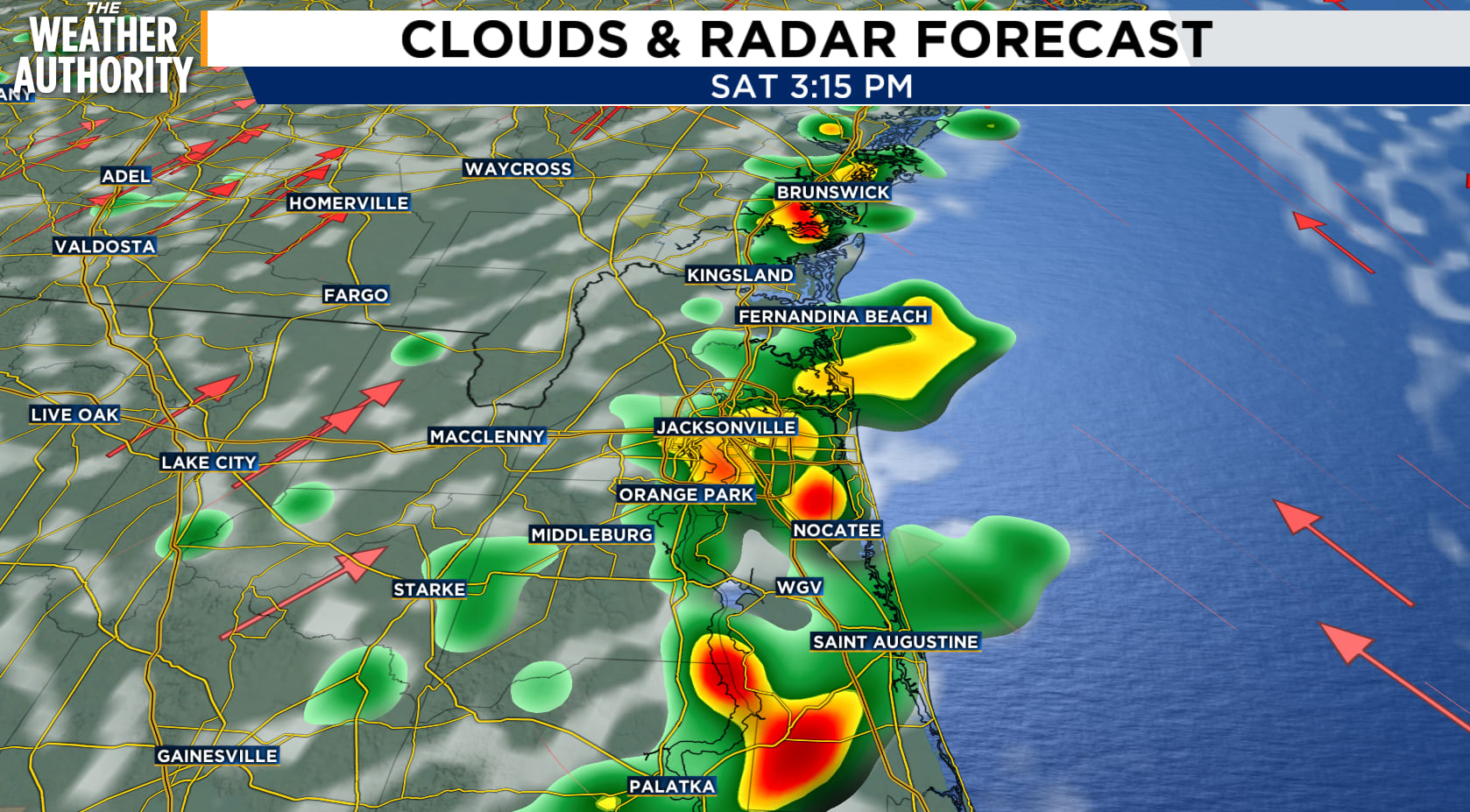 Saturday storms
JACKSONVILLE, Fla. – A hot and humid pattern will continue across the area, with afternoon temperatures reaching the lower 90s and heat indexes climbing as high as 102 to 107 degrees through Monday.
Numerous thunderstorms are expected this afternoon and evening. While most storms will be scattered, stronger storms are possible near the I-95 corridor and eastern areas, where storms may produce 40–50 mph wind gusts, frequent lightning and heavy downpours. Localized flooding will be a hazard today.
Storm chances will continue from Sunday through Wednesday, mainly during the afternoon and evening. Most storms should weaken later tonight, with only a few sprinkles possible around midnight.
At area beaches, the rip-current risk will remain moderate through Monday. The risk could become high from Tuesday through Thursday as breezy onshore winds develop. Swimmers should stay near lifeguards, heed beach warnings and avoid entering the water when conditions deteriorate.
Copyright 2026 by WJXT News4JAX – All rights reserved.
About the AuthorMichelle McCormick headshot Michelle McCormick
 joined News4Jax in December 2023 and in February 2024, she happily accepted the opportunity to officially join the News4Jax Weather Authority team as the weekend morning meteorologist. She is a member of both the American Meteorological Society and National Weather Association.