
 Orlando AM Weather Forecast: Big changes on the way
A cold front is on the move and it’s going to bring some big changes to Central Florida. Meteorologist T.J. Springer is timing it out and lets us know how cold we’ll get this week and when the rain arrives.
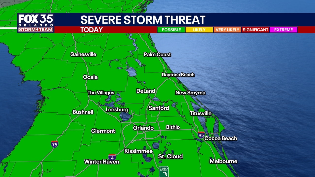
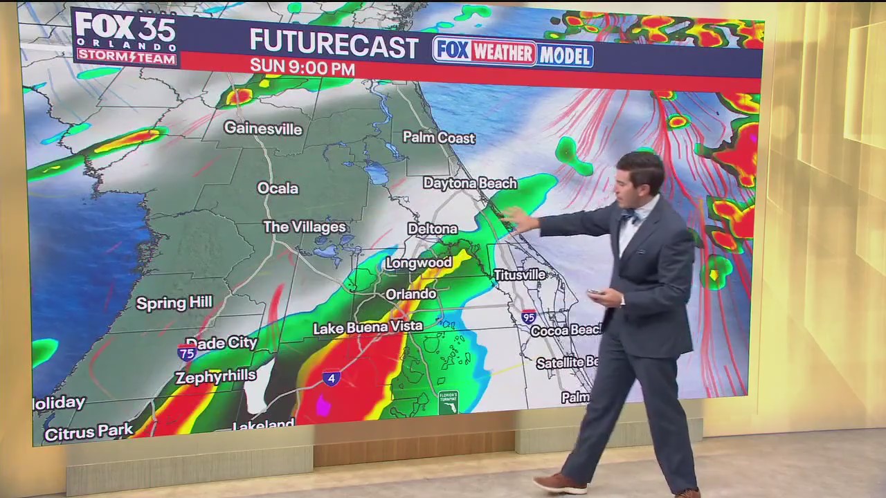
ORLANDO, Fla. – Today is a transitional day for us as our next storm system moves in. The cold front associated with it is going to bring us the coldest air of the season thus far, along with the chances for showers and storms. Rain chances are around 40% with the timeline mainly during the afternoon and evening.
What will the weather look like tonight?
What to Expect:
Out ahead of the front, we’ll have some “wind energy” and enough instability for an isolated strong to severe storm. The main concerns if a storm could develop would be small hail and gusty winds. A Marginal Risk is draped across the viewing area for this threat.
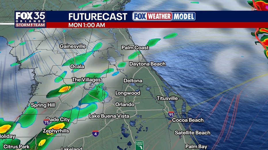
Highs with a bit more cloud cover around will be a touch cooler, topping out in the middle 80s. Overnight, we’ll see the potential for a few lingering showers with temps falling quickly. Lows will dip back into the 50s to 60s depending on the exact placement of the front.
What will the weather look like tomorrow?
What to Expect:
Ol’ Man Winter pays us a visit Monday into Tuesday behind this big, cold frontal passage. The cold front will still be pushing through early Monday, which could lead to a stray shower, but most will be dry. The bigger story is the cold.
Highs on Monday tumbled, only topping out in the low to mid-60s. The wind will likely make it feel like the 50s. The coldest air of the season then reaches us from Monday night into Tuesday AM. Lows fall back into the 30s-40s with a freeze likely across parts of North Florida. For us, temps likely won’t get that cold, but our northern locales could get close.
Looking ahead
What to Expect:
Tuesday, by far, will be the coldest day of the week…by a landslide. Temperatures will be well below normal, beyond 20°-25° or so. It’ll feel even worse when you factor in the wind. Expect wind chills in the 20s-30s by Tuesday AM. Be sure you bundle up at the bus stop.
Wind chills are likely to stay in the 40s-50s throughout the day. Temps only look to top out in the upper 50s to lower 60s on Tuesday, which is around 20° below average. High pressure continues to build at midweek and that means lots of sunshine and rising temperatures.
Afternoon readings top out in the lower 70s Wednesday, but the warming trend doesn’t stop there. Highs by early next weekend look to get back into the upper 70s and lower 80s.
The Source: This story was written based off information shared by the FOX 35 Storm Team on Nov. 9, 2025.