
All is quiet in the tropics, but temps are going to drop − sharply and briefly − just ahead of the end of hurricane season.
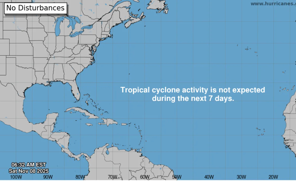
According to the Sunday, Nov. 9, 2025, weather advisory from the National Hurricane Center in Miami, Florida, tropical cyclone activity was not expected during the next 7 days.
Though no storms have made landfall in the U.S. this hurricane season, it’s been an active one.
This month marks the end of the 2025 Atlantic hurricane season.
The hurricane center graphics and live weather radars below show what’s swirling in the tropics (if anything) as well as the conditions for potential rain, flash flood and other warnings.
➤ 2025 Atlantic hurricane season predictions
Atlantic hurricane season is from June 1 to Nov. 30 every year, with the most activity between August and October. Should another weather system develop into a tropical storm, the system would be named Nestor, which is next on the list of the 2025 Atlantic hurricane season names (see below).
➤ Weather alerts via text: Sign up to get updates about current storms and weather events by location
Keep reading for information about tropical storm activity for Sunday, Nov. 9, 2025.
National Hurricane Center in Miami, Florida, forecast on tropical activity: Is there a tropical storm or hurricane now?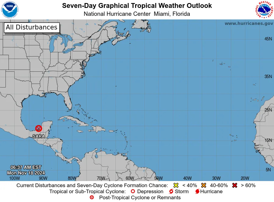
According to the Sunday, Nov. 9, 2025, tropical outlook from the National Hurricane Center in Miami, Florida, there are no active systems churning in the open waters of the North Atlantic. The graphic above automatically updates with the most recent location for any or all disturbances.
The Atlantic basin consists of the northern Atlantic, Caribbean Sea and Gulf of America. NOAA changed its naming convention for the Gulf of Mexico after the U.S. Geological Survey changed the name on U.S. maps per President Trump’s order.
The Sunday, Nov. 9, advisory from the National Hurricane Center states:
Gulf of America, previously called the Gulf of Mexico: “Ridging extends over the basin, supporting moderate or weaker winds and slight seas. Isolated showers are occurring across the NE Gulf. For the forecast, a strong cold front will move into the NW Gulf early this morning, then quickly move SE through the basin and exit by Monday evening. Strong to near gale-force N to NE winds and rough seas can be expected behind the front, with gale force winds and very rough seas offshore of Veracruz Monday morning through Monday night. There is a potential for gust to gale force winds for the NW Gulf beginning later this morning and continuing through Monday morning. Conditions will improve basin-wide by Tuesday evening.
In the Caribbean Sea: The persistent surface trough in the western Caribbean continues to support scattered moderate convection and tstms, across the offshore waters of Honduras, Nicaragua, Costa Rica, and Panama. A second surface trough is moving across the E Caribbean and through Puerto Rico along with scattered showers and isolated thunderstorms. Otherwise, a prevalent ridge extending across the northern basin continues to tighten the gradient across the eastern and central Caribbean, thus supporting the continuation of fresh trades and moderate seas to 7 feet in these regions. Moderate or weaker trades are ongoing in the NW basin with slight seas.
For the forecast, locally strong winds and rough seas are expected in the south-central Caribbean through Monday night. Rough seas in east swell over the tropical Atlantic waters east of the Lesser Antilles will gradually subside through Tuesday morning. A strong cold front will enter the NW Caribbean waters Monday afternoon, bringing strong to near gale force N winds and rough seas in its wake. The front will stall from eastern Cuba to eastern Honduras late Tue and gradually weaken through Wednesday evening. Aside from the strong winds and seas, the front will support the development of heavy rainfall and thunderstorms over Central America and adjacent waters through Thursday.
In the Atlantic Ocean: Scattered showers and isolated thunderstorms are ongoing offshore NE and central Florida ahead of an approaching cold front entering the Gulf of America this morning. A surface trough is just E of the Turks and Caicos generating scattered to isolated showers across the Bahamas offshore waters. The remainder of the subtropical Atlantic is under the influence of the Azores High that is anchored by a 1028 mb high near 34N40W. From 20N to 27N and E of 53W, winds are moderate to fresh from the NE to E and seas are 8 to 11 feet in long period NW swell. Moderate or weaker winds and slight to moderate seas are ongoing elsewhere N of 20N and W of 53W.
For the forecast west of 55W, moderate to fresh S to SW winds developing offshore of NE Florida this morning will reach fresh to strong speeds tonight into Mon ahead of a strong cold front that will push off the SE U.S. Sunday night. The front will progress SE and reach from Bermuda to E Cuba Tue afternoon, with the southern portion of the front stalling from 27N65W to E Cuba Tuesday evening into Wednesday. Strong to gale-force winds and rough to very rough seas are expected behind the front Monday evening through late Tuesday. Gale conditions in W to NW winds are expected along and N of 30N Monday evening into late Tuesday, for the offshore waters W of 65W. Winds then will gradually diminish through Wednesday.”
The USA TODAY Network in Florida will produce daily tropics watch advisories.
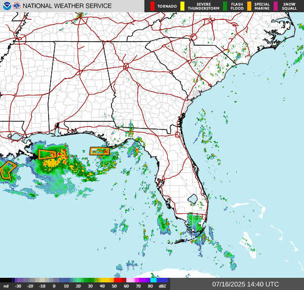
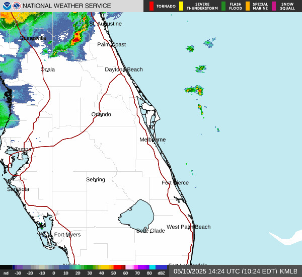
Is it raining in Florida today? Live weather radar
Shown is the National Weather Service radar, which shows conditions in real-time for the Southeast United States and parts of Central Florida. The current date and time show up on the bottom right of this radar embed; otherwise, you may need to clear your cache.
 Weather watches and warnings issued in FloridaInteractive map: Hurricanes, tropical storms that have passed near your cityStay informed. Get weather alerts via textWhat’s next?
We will provided tropical weather coverage daily until Nov. 30 to keep you informed and prepared. Download your local site’s app to ensure you’re always connected to the news. And look for our special subscription offers here.
Contributing: Cheryl McCloud, USA TODAY Network-Florida
This article originally appeared on Sarasota Herald-Tribune: Florida weather forecast is cold ahead of the end of hurricane season