
ORLANDO, Fla. – Central Florida typically sees a couple of these types of cold blasts every winter.
The difference? They normally occur in the heart of winter, not the middle of November.
A freeze watch is in effect for Marion County as the there is the potential for actual air temperatures to dip below the freezing mark Tuesday morning.
Freeze watch for Marion county Tuesday morning.
Any sensitive plants or crops not protected can be damaged or killed by the cold.
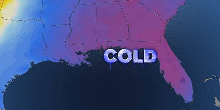
The blast of cold air arrives Monday with temperatures reaching their “warmest” point late in the morning and the falling for the remainder of the day.
Monday temperatures
The core of the cold then settles into Central Florida Tuesday.
Tuesday morning lows
Most will wake up in the 30s, potentially breaking daily low temperatures.
Forecast lows vs records
For more perspective, the current forecast for Tuesday morning in Orlando is 38 degrees.
That was the coldest morning observed for all of last winter.
Forecast low temperature Tuesday
This is also the earliest it has been this cold in Central Florida since 1993.
With the wind factored in Tuesday morning it will feel more like the 20s and 30s.
Tuesday morning wind chill
Highs top out in the 50s Tuesday afternoon.
It will only be a few degrees warmer Wednesday afternoon.
Copyright 2025 by WKMG ClickOrlando – All rights reserved.