

Millions of Floridians were warned of the risk of hypothermia as far south as Everglades City on Monday as below-average temperatures swept across the region.
These types of cold fronts are more common from December through February, National Weather Service (NWS) meteorologist George Rizzuto told Newsweek, making the November cold snap “unusual” for South Florida.
Why It Matters
Millions of Floridians are under cold weather and freeze advisories as a cold air mass sweeps into the state, marking a rare early-season cold event.
The cold snap has prompted widespread warnings about the dangers of hypothermia, especially for vulnerable populations including children, the elderly, and those without access to adequate heating. While Florida is known for its warm climate, advisories of this scale and severity are unusual, occurring infrequently in recent decades. The National Weather Service (NWS) cautioned that prolonged exposure to the unseasonably low wind chills—expected in the 20s and lower 30s—can quickly become dangerous, underscoring the need for residents to take safety precautions.
What To Know
The cold weather advisories and freeze warnings across much of Florida begin late Monday and continue into Tuesday morning. Wind chills are forecast to fall as low as 19 degrees in the Panhandle and into the 20s and lower 30s throughout the Peninsula. Subfreezing temperatures are possible in parts of the Big Bend, central, and northern regions of the state, with the coldest air expected overnight into early morning hours.
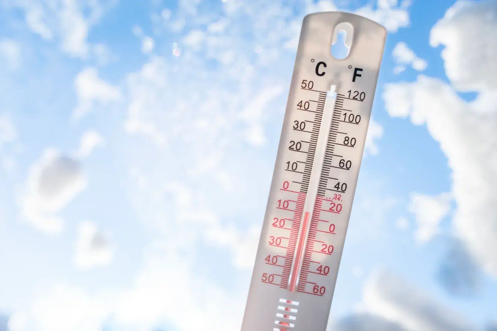
“Wind chill values of 30 degrees or less can lead to hypothermia with prolonged exposure,” NWS Tampa Bay said in a cold weather advisory.
Residents are urged to wear appropriate clothing, including hats and gloves, when venturing outdoors, and to bring pets indoors.
The plunging temperatures are occurring earlier than is typically expected, WINK News chief meteorologist Matt Devitt said in a post on X.
“To put things into perspective, this will rival the coldest it got all last winter … and it’s only mid-November. In fact, it hasn’t gotten this cold this early in nearly 60 years (1966),” Devitt posted. “Temperatures will be over 20 degrees below average. While I’m not expecting a local freeze at this time, it will *feel* like freezing with the wind. This will be a shock to the system considering how warm it was this weekend.”
This cold event follows a rapid shift from abnormally warm conditions, with residents in some regions experiencing a 40-degree swing in apparent temperatures over just a couple of days.
According to the NWS, hypothermia can set in when the body loses heat faster than it can generate it, causing body temperature to drop to unsafe levels. Wind significantly increases heat loss, contributing to a faster onset of hypothermia, especially among children, the elderly, and individuals without adequate housing or heating.
What People Are Saying
NWS in a webpage about hypothermia: “Combined with brisk winds, dangerously cold wind chill values can result. People exposed to extreme cold are susceptible to frostbite and can succumb to hypothermia in a matter of minutes. Areas most prone to frostbite are uncovered skin and the extremities, such as hands and feet.”
WFLA-TV chief meteorologist Jeff Berardelli in a post on X: “Gusty NW winds ushering in the coldest air since last winter. By morning 40 record cold lows are in jeopardy across the Southeast … many in Florida, from the Panhandle all the way south to Ft Myers and Vero Beach. Near freezing lows on the Nature Coast, mid to upper 30s I-4! Some wind chills in the 20s. Bundle up!”
What Happens Next
The cold weather advisories and freeze warnings remain in effect until at least Tuesday morning. The NWS updates local forecasts regularly on its website and social media channels, and residents are advised to stay vigilant for further advisories and any signs of extreme cold, such as falling temperatures or increasing wind chill.
Temperatures are expected to gradually moderate later in the week, but the current chill underscores the need for continued attention to weather alerts and safety practices as the unusually cold air mass exits the state.