
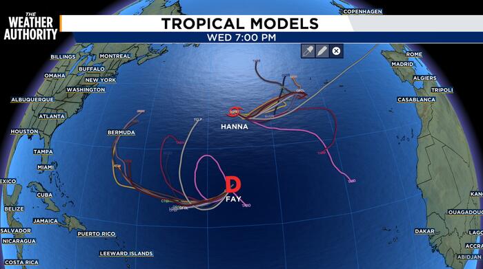
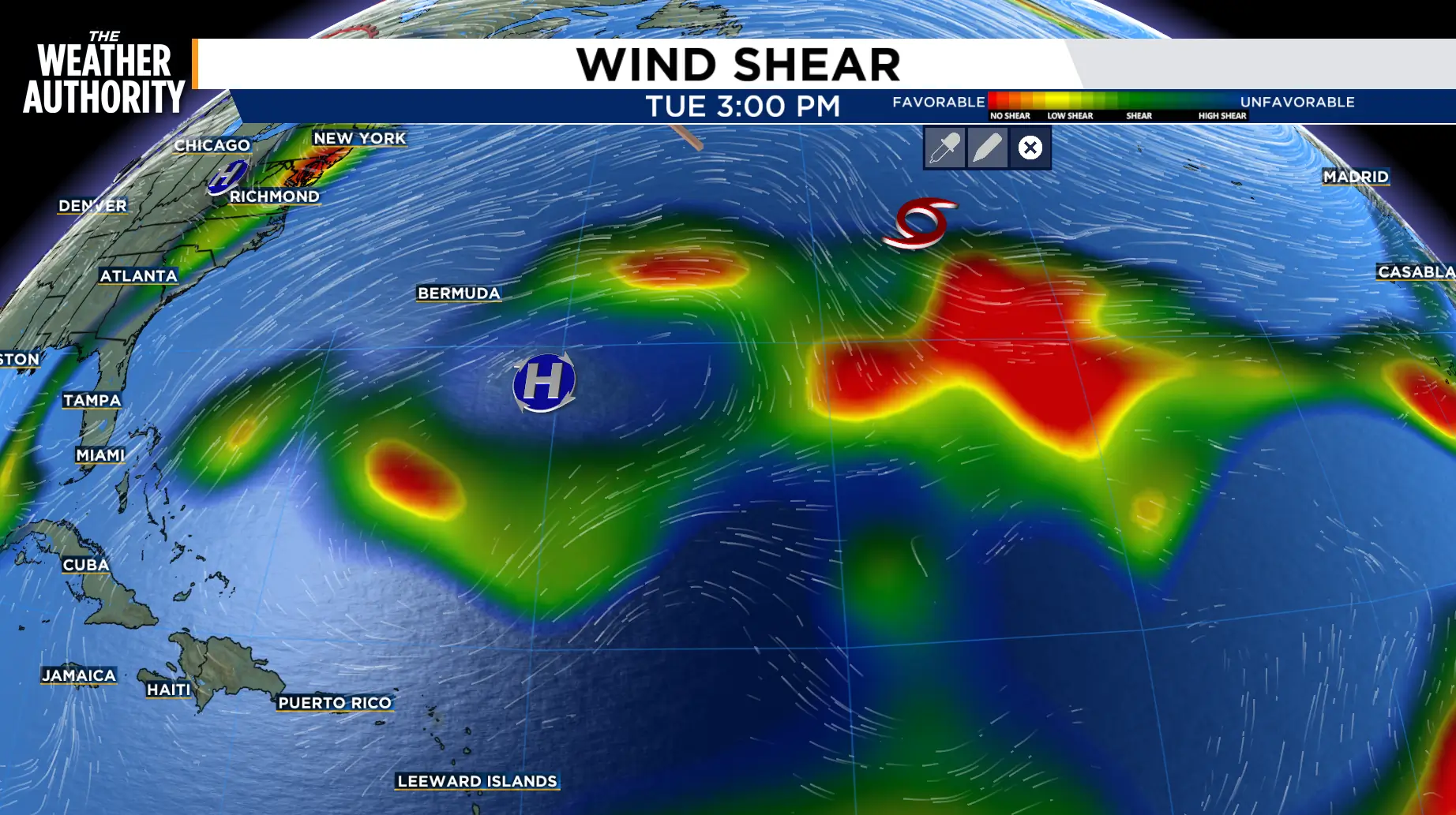
Satellite imagery shows that Hanna continues as a sheared tropical cyclone with the low-level center mostly exposed to the west of the main convective area and remains just south of a weak frontal boundary.
The intensity has been reduced and data also suggests that the circulation is becoming less well defined as it interacts with the frontal boundary.
Tropical Storm Hanna was located near latitude 34.0 North, longitude 44.5 West and is moving toward the southeast near 12 mph. This motion is forecast to continue with a decrease in forward speed through Wednesday morning, followed by a turn to the east-northeast.
The maximum sustained winds are near 40 mph with higher gusts.
Gradual weakening is expected during the next couple of days, and Hanna is likely to become a post-tropical cyclone by Thursday.
Tropical-storm-force winds extend outward up to 70 miles from the center.
The estimated minimum central pressure is 1005 mb.
 . (.)
Post-Tropical Cyclone Fay was located near latitude 23.7 North, longitude 48.2 West.
Movement is toward the west-southwest near 12 mph and this motion is expected to continue for the next couple of days.
Maximum sustained winds are near 30 mph with higher gusts.
Little change in strength is forecast, and Fay is forecast to dissipate in a day or so.
The estimated minimum central pressure is 1011 mb.
Copyright 2026 by WJXT News4JAX – All rights reserved.