
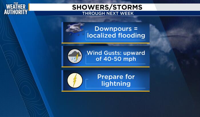
We’re kicking off October with warm temperatures, increasing humidity and a growing chance for showers and thunderstorms across Northeast Florida.
Today will start with partly cloudy skies before showers and thunderstorms become more likely through the afternoon and evening.
Temperatures will climb into the upper 80s, keeping conditions feeling warm and humid for much of the day.
Some storms could produce heavy downpours, with the potential for brief periods of ponding or localized flooding in areas that receive repeated rainfall. Morning fog may also develop in some locations, particularly away from the coast.
The unsettled weather pattern is expected to continue into the weekend, bringing additional chances for showers and thunderstorms around Jacksonville and the First Coast. While rainfall will not be continuous, some areas could see heavier bursts of rain.
Beachgoers should also use caution, as rough surf and stronger currents can develop along the coast. Anyone heading to the beach should check local beach conditions and follow posted safety instructions.
Looking ahead to early next week, rain chances could remain elevated as another round of unsettled weather moves into the region. Temperatures are expected to stay warm, but periods of clouds, rain and thunderstorms could keep conditions changeable.
For Jacksonville, the overall weather message is simple: warm and humid conditions will stick around, but keep the umbrella nearby as rain and thunderstorms become a bigger part of the forecast.
Copyright 2026 by WJXT News4JAX – All rights reserved.