
Localized flooding risk continues throughout the weekend
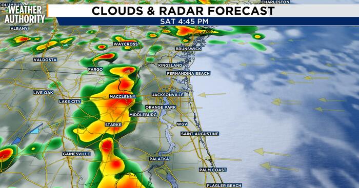
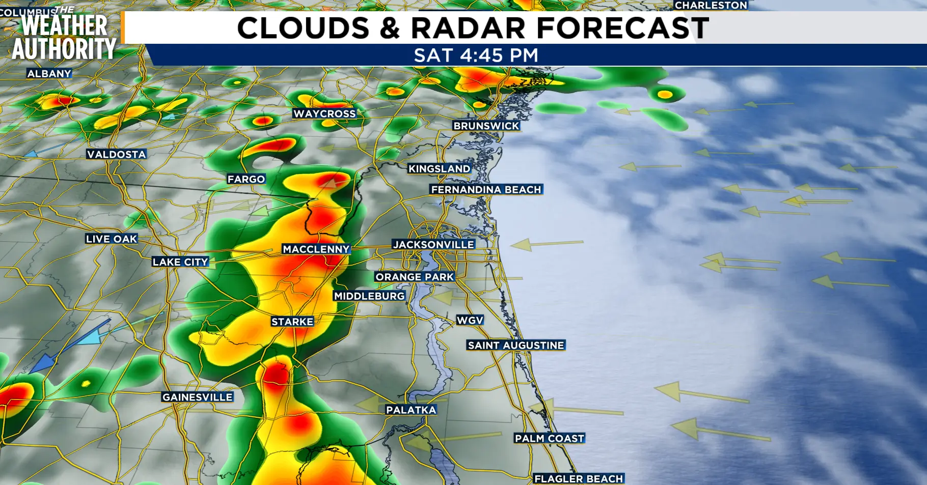 Saturday storms
JACKSONVILLE, Fla. – Clouds and rain will limit temperatures today, topping out in the mid-80s and then falling into the low–mid 70s overnight.
Expect storms to flare up this afternoon, mostly along the sea breeze convergence.
Storm motion will be slow, around 5–10 mph, generally N–NE, so brief heavy downpours can train over the same area. Coverage will be greatest inland and should gradually dwindle after sunset.
Patchy fog is possible over soggy ground this morning and tonight.
Beginning Monday, a coastal low may develop into a local nor’easter; expect elevated northeasterly winds over coastal waters and shorelines, the risk of tidal flooding as astronomical tides rise toward the New Moon, dangerous surf and strong rip currents, and a period where Wind Advisories along the coast could become necessary.
Copyright 2026 by WJXT News4JAX – All rights reserved.
About the AuthorMichelle McCormick headshot Michelle McCormick
 joined News4Jax in December 2023 and in February 2024, she happily accepted the opportunity to officially join the News4Jax Weather Authority team as the weekend morning meteorologist. She is a member of both the American Meteorological Society and National Weather Association.