
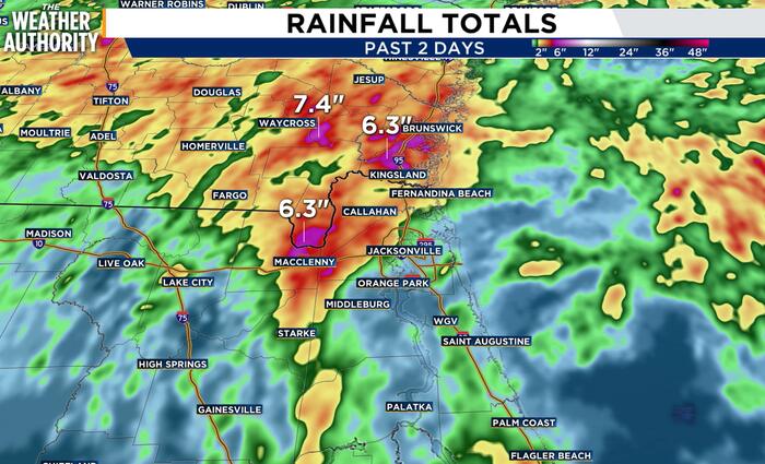
JACKSONVILLE, Fla. – It certainly has been a wet start to October. In fact, several locations have picked up around 5-7″ in just the past two days.
Is this rainfall enough to end the drought and what does the rest of the week hold?
In just the first few days of October, Jacksonville International picked up over a month’s worth of rain. It’s also the wettest October since 2016.
Jacksonville International AirportRainfall (Inches)October average rainfall4.03″So far this month5.29″Surplus +1.26″
The airport has a surplus of around an inch of rain, and more rain is on the way.
However, when looking at the extended timeframe going back a year, we are still in a deficit.
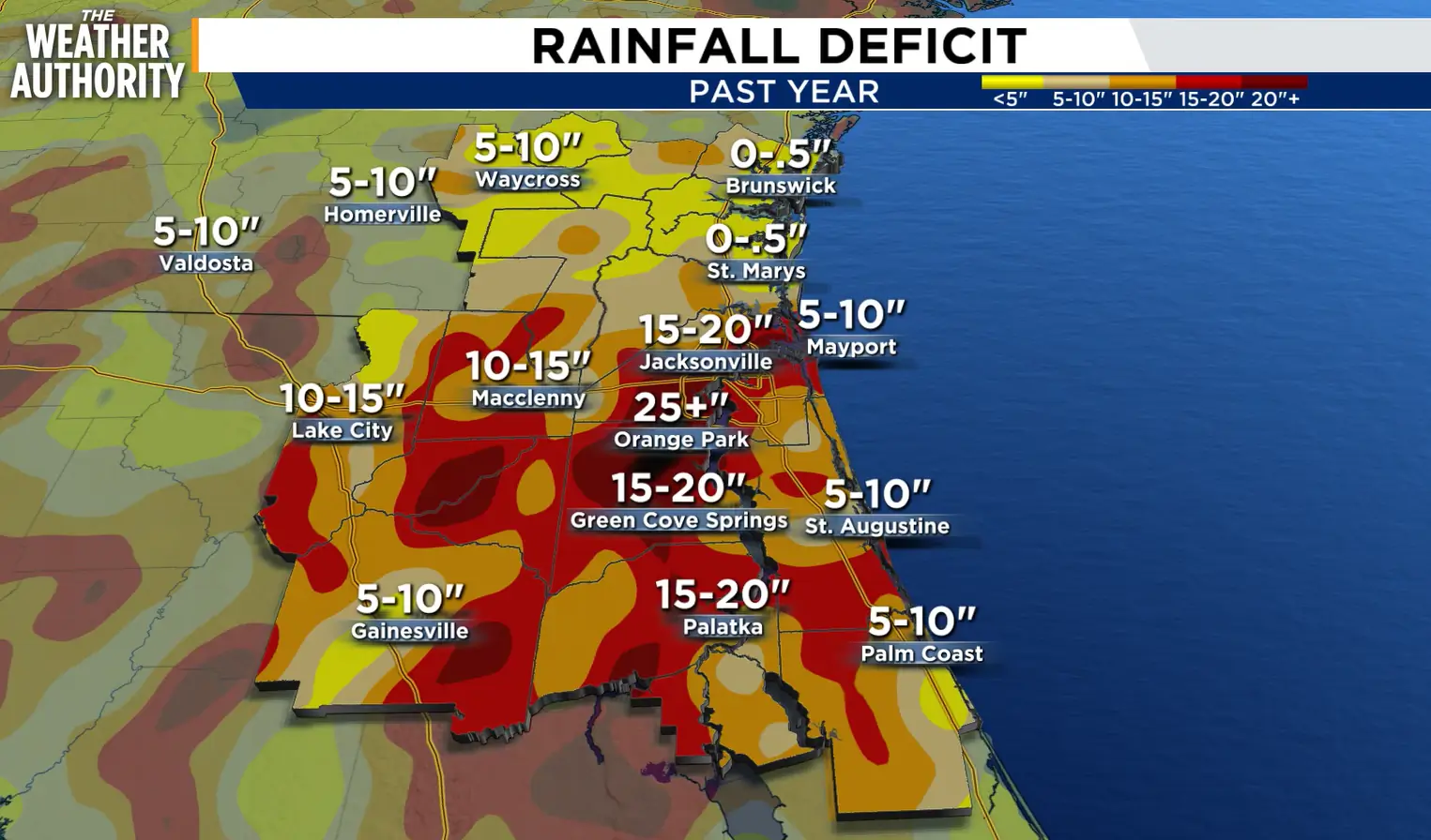 Rainfall deficit over the past year.
The deficit still exceeds 15″ in many locations when looking at the past year.
The rainfall is certainly welcome, though, but getting a large amount of rainfall in a short amount of time has led to flash flooding, with the risk of flooding around through the rest of the week.
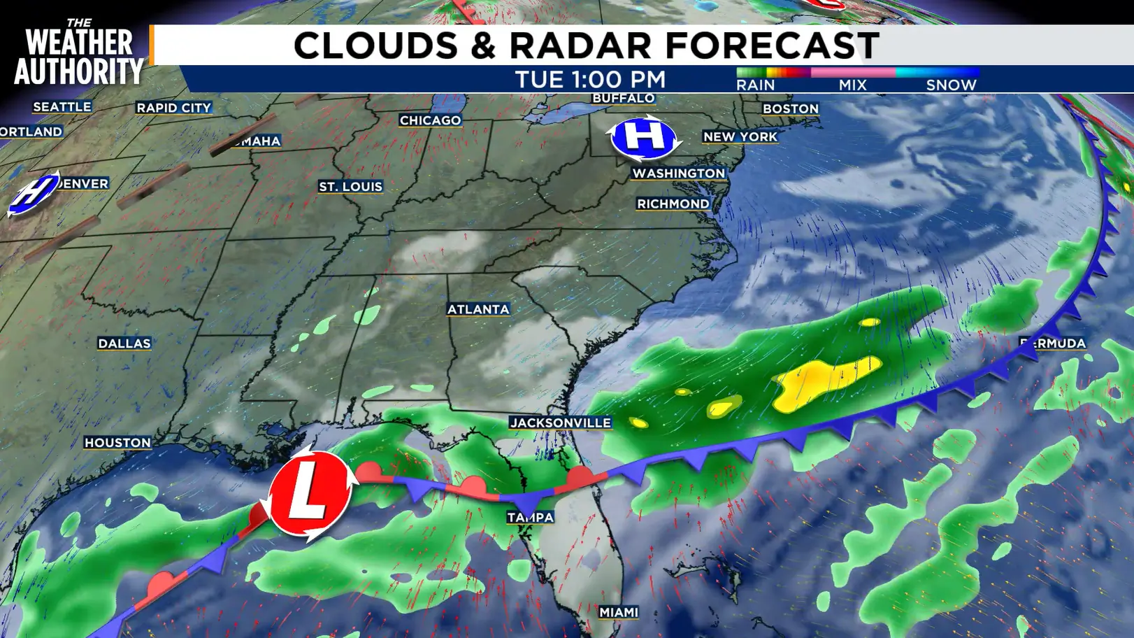 A stalled front along with an area of low pressure will keep rain coverage widespread this week.
Our pattern will remain active through the rest of the week thanks to a stalled front over the FL/GA line.
At the same time, a developing area of low pressure in the Gulf will continue to feed tropical moisture into the region.
Waves of moderate to heavy rain will persist across our area through the end of the week.
This could result in some locations picking up several additional inches of rainfall.
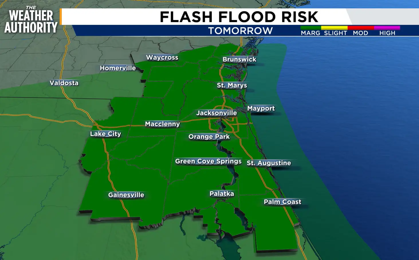 Tomorrow’s flash flood risk.
The risk for flash flooding will remain elevated during this time frame, and little if any change to the pattern is expected for the rest of the week.
Copyright 2026 by WJXT News4JAX – All rights reserved.