
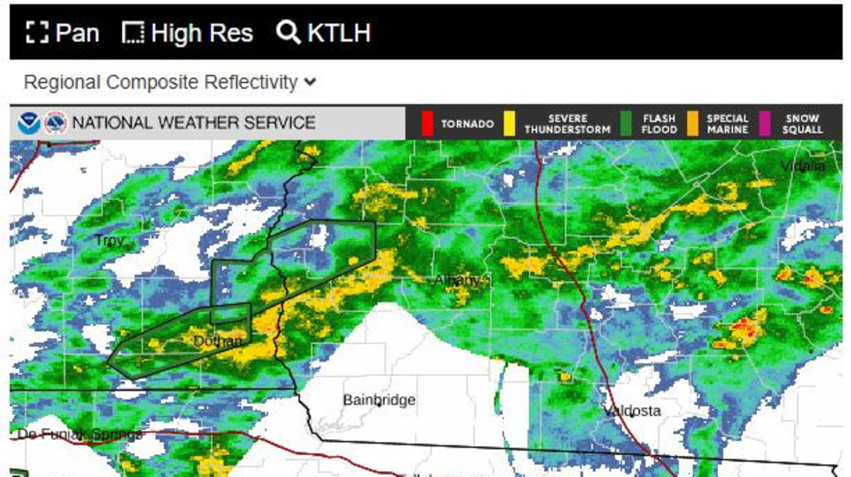
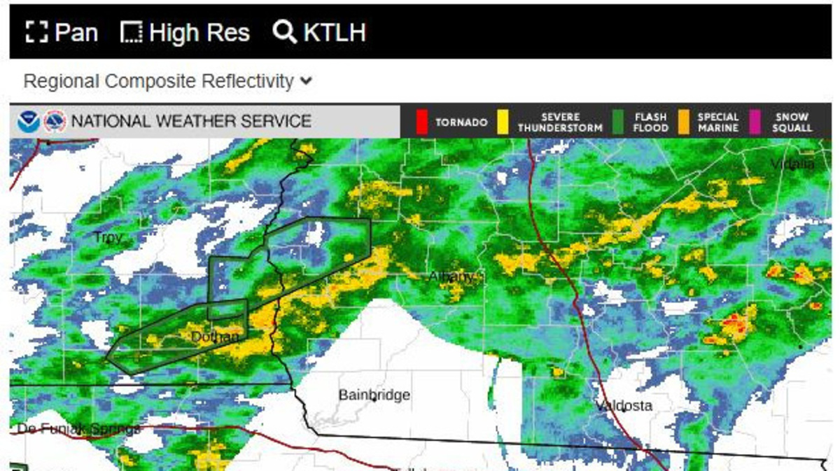
National Weather Service radar data in Tallahassee and several other offices in the region, from Mobile, Alabama, to Valdosta, Georgia, has been unavailable to the public since Saturday, Oct. 3, 2026, because of telecommunications issues. NWS has not released a timeline for restoration.
National Weather Service Tallaha
USA TODAY Network, Reuters
The heavy rain that’s been falling in the Tallahassee area hasn’t shown up on the National Weather Service’s public facing radar for the past three days because of a telecommunications issue affecting a number of sites in the region.
The outages hit NWS radars in Mobile, Alabama, Eglin Air Force Base in the Florida Panhandle, Fort Rucker near Dothan, Alabama, Tallahassee and Valdosta, Georgia. About an hour after this story published online, the radar appeared to be back up and functioning.
“A major fiber cut has been fixed and we are cautiously back in business,” NWS-Mobile wrote in a Facebook post.
According to media reports, the radars themselves have been operational and accessible to the Weather Services offices, which are still issuing watches and warnings. But the data was not flowing downstream to the public, private forecasters, mobile apps, media outlets and others who rely on them.
The radar glitches come as a weather disturbance off the eastern coast of Mexico is forecast to strengthen into a potential tropical cyclone by the end of the week, potentially threatening the Gulf Coast and Big Bend.
The Weather Service itself has been fairly mum about the issue, with no statement on its website explaining what is happening or when service might be restored.
Phone calls to the Tallahassee office were referred to the National Oceanic and Atmospheric Administration’s public affairs office. NOAA has not yet responded to questions from the Democrat.
Wright Dobbs, a meteorologist with NWS Tallahassee, said in an X post that “radars are down due to telecomms issue (fiber cut).” WALB in Albany, Georgia, reported that the Mobile, Alabama, office said there was no timeline for restoration.
Ryan Truchelut, chief meteorologist at WeatherTiger, a weather consulting firm based in Tallahassee, said the communication with the radars were lost around 1:45 a.m. Saturday, Oct. 3.
Truchelut said the outages are “a little alarming” because of the length of time they have gone on with no word on restoration. He said Jacksonville was the closest radar site to Tallahassee still producing data but that the beam wasn’t picking up what’s happening in the lower atmosphere, namely the rain.
“It’s just leading to difficulty for local forecasters in confidently saying where it’s raining, how hard it’s raining and what the short-term forecast is going to be like,” he said.
He said that while NWS Tallahassee’s radar is “kind of legendarily finicky,” forecasters can generally pick up radar coverage from Valdosta or Eglin. That’s no so with the current outage.
“There’s two aspects to this,” he said. “One is people may make bad decisions because they can’t see radar data themselves. And two is this is harming the ability of the public-private partnership to disseminate NWS data through all the channels it goes out through, whether it be apps or news media websites.”
The outages coincided with a deluge of moisture from the Gulf that brought flood watches and warnings to the Tallahassee forecast area, which includes southwest Georgia and Southeast Alabama. The system in the Gulf, meanwhile, has a 80% chance of development over the next seven days, according to the National Hurricane Center.
“It’s probably a better than 50% chance that that will be moving toward the Gulf Coast late this week,” Truchelut said. “I would like to see the NWS public-private partnership be functioning on all cylinders when you have a potentially impactful weather event in the cards, which is where we are right now.”
Jim Cantore, famed forecaster with The Weather Channel, posted an image on X showing the outages in Tallahassee and elsewhere.
“The need for privatization of radars and a radar network has never been more glaring,” he wrote. “Thank God it’s not a severe situation, however flooding and the need for rainfall rates is bad enough.”
Dobbs, who responded to Cantore’s post, said it was “crazy” to think private companies would be immune to such outages.
“In my opinion NWS radars need more redundancy, but privatization leads to less service and Americans paying more (see private equity),” he wrote.
Truchelut noted that in recent years, there have been instances where NWS offices have lost the ability to transmit forecast information, though designated backup offices take over as an agency failsafe when that happens.
CNN reported that on Aug. 11, problems related to antiquated NWS software led to delays in severe thunderstorm, flash flood and tornado warnings going out during a deadly storm system that hit the Midwest and Ohio Valley.
“It’s worrisome,” he said, “because it points to the potential of broader systemic issues.”
Contact Jeff Burlew at jburlew@tallahassee.com or 850-599-2180.
This article originally appeared on Tallahassee Democrat: NWS radar outages hit Tallahassee as potential tropical system looms
Reporting by Jeff Burlew, Tallahassee Democrat / Tallahassee Democrat
USA TODAY Network via Reuters Connect
Copyright Reuters or USA Today Network via Reuters Connect
This story was originally published October 5, 2026 at 1:29 PM.