
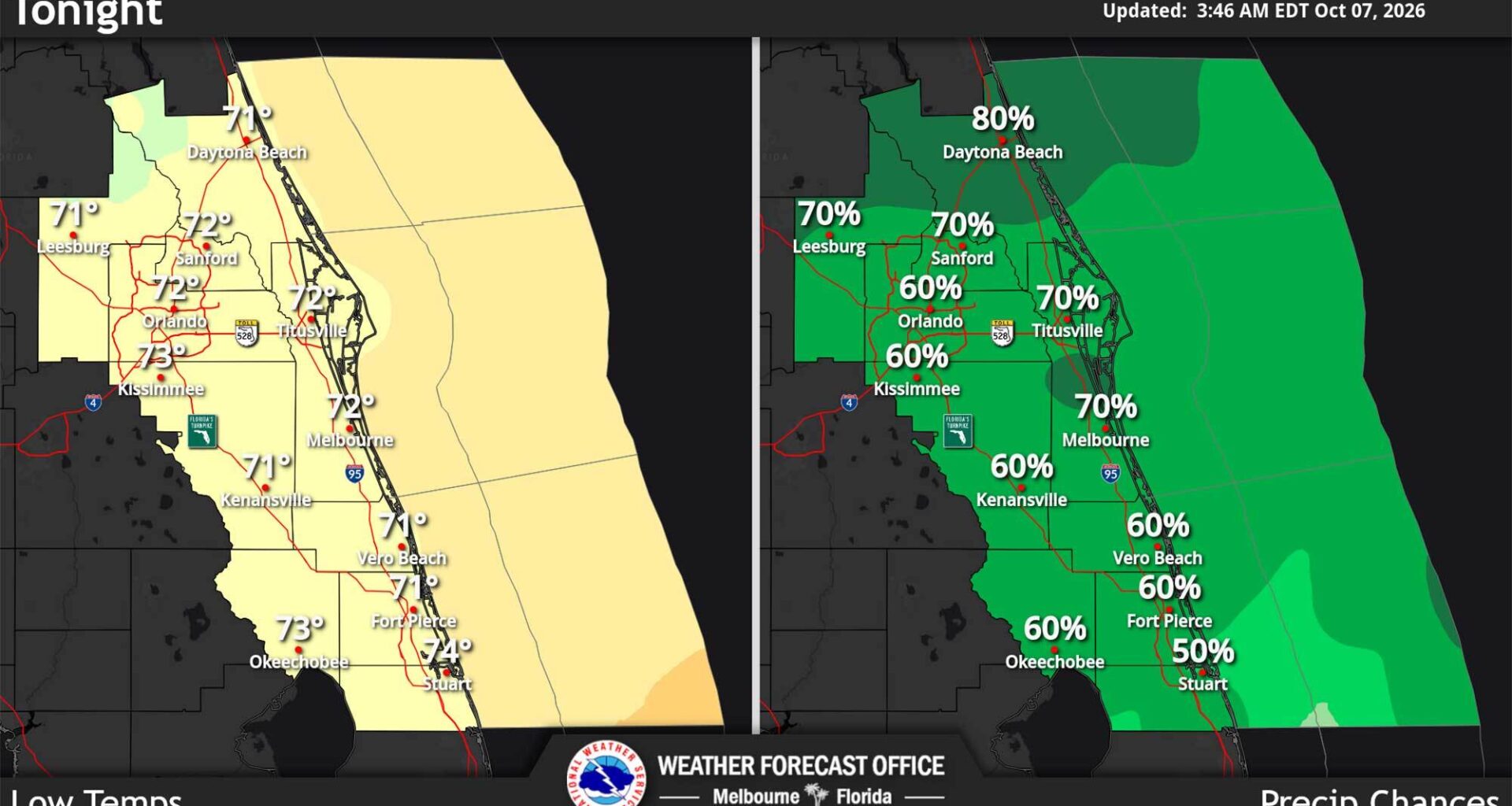
The cold front that moved over Central Florida this week is dropping temperatures to the low 80s but is also forecast to continue rounds of showers on Wednesday, according to the National Weather Service in Melbourne.
“Dense cloud cover looks to keep high temperatures in the upper 70s to lower 80s north of Melbourne, with breaks in the clouds allowing areas to the south to warm into the upper 80s,” forecasters said. “Humid conditions will support heat indices in the upper 90s to near 100 in the warmest areas.”
Rain chances across the region are forecast to be from 60% to 70% with occasional lightning storms and a marginal risk for excessive rainfall that could lead to minor flooding, a pattern expected to continue through the rest of the week.
Meanwhile on the beach, dangerous rip currents have formed while poor boating conditions remain to the end of the week.
The cold front that began moving across Central Florida earlier this week remains stalled with little change overall to the forecast compared to Tuesday.
Another 2 inches of rain could fall with some areas getting totals near 4 inches.
The stalled front looks to remain in place through late in the week with a “a bit of rinse and repeat forecast for Thursday,” forecasters said.