
SARASOTA, Fla. (WWSB) – Bundle up—it’s going to be a cold one! A surge of chilly northern air is sweeping across the region, and many areas in Florida could wake up to record-breaking lows by this morning. Temperatures are expected to drop into the upper 20s across the far northern counties and hover in the 40s on the Suncoast.
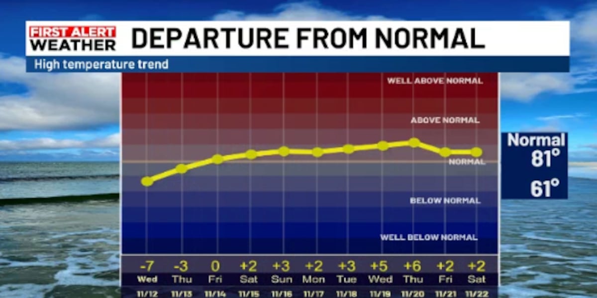
Normals for this time of year on the Suncoast are 81 for a high and 61 for a low. We will be about 20 degrees cooler than that. Our record low for today is 40 degrees, set in 1956. The last time the November temperature dropped to 40 was in 2008.
The day will stay cool and breezy under mostly sunny skies, with highs struggling to reach the low 60s. Some spots may even set new records for the lowest “high” temperatures ever recorded for this date.
Out over the water, conditions will remain rough through most of today. A High Surf Advisory is in effect until mid-morning, and a High Rip Current Risk continues for beachgoers. Small Craft Advisories remain posted for boaters through the afternoon, as brisk winds and choppy seas make for hazardous marine conditions.
By Tuesday night, the winds will relax, setting the stage for another round of very cold temperatures. With clear skies and calm air, radiational cooling will drop overnight readings back into the 40s. On the glass half full side, the lower wind speeds will make wind chills tomorrow morning less important.
In short, it’s a stretch of unusually cold, dry weather for this time of year—beautifully sunny, but definitely jacket weather.
Copyright 2025 WWSB. All rights reserved.