
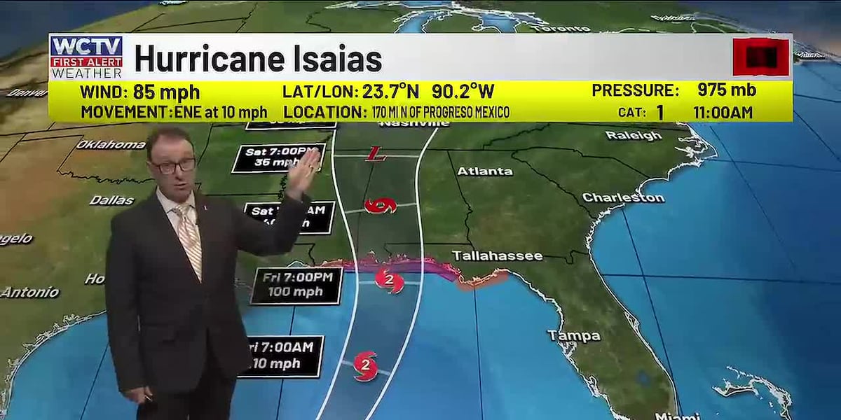
TALLAHASSEE, Fla. (WCTV) – The focus of the forecast continues to be Hurricane Isaias. A landfall is expected to the west. You can check out the latest on the hurricane here.
Cloudy today
It is going to be a nice day with temperatures slowly climbing into the low 80s this afternoon. Mostly cloudy skies will keep it feeling slightly cooler than normal. A few showers SOUTH of FL-20 this afternoon.
Eyes to the west tomorrow
Isaias is expected to make landfall to our west, keeping the significant weather impacts away from us. Still should see some storm surge. However, life-threatening surge is unlikely, especially since a landfall is expected far away AND during low tide.
It will turn breezy with occasional showers tomorrow. Friday afternoon will feature some showers and storms. The bigger impacts stay to our west, especially late in the day.
Severe risk Saturday
Strong storms with rainbands as Isaias races north. There will be a risk for tornadoes with these showers on Saturday… so this is when we expect our highest weather impacts. Be sure to have ways to get weather alerts this weekend.
Drying next week
Weather looks much better and brighter Monday into the middle of next week.
To stay updated on all the latest forecasts and weather, follow WCTV First Alert Weather on Facebook and X (Twitter).
Click here to see all the latest weather headlines and here to view the First Alert Radar. Receive push alerts and watch the latest forecast anytime on the free WCTV First Alert Weather app. Click here to download it now.
Interested in becoming a WCTV First Alert Weather Watcher? Click here to join the team!
Copyright 2026 WCTV. All rights reserved.