
TAMPA, Fla. — After hurricanes Helene and Milton, one USF professor said he wanted to dig deeper to understand why some homes faced more flood damage than others.
After those storms, USF School of Public Affairs assistant professor Youjung Kim walked around and noticed there was a difference between two homes.
“I realized that within the same flood zone, two houses next to each other experienced different levels of flood damage,” Kim said.
He learned the difference was first-floor elevation.
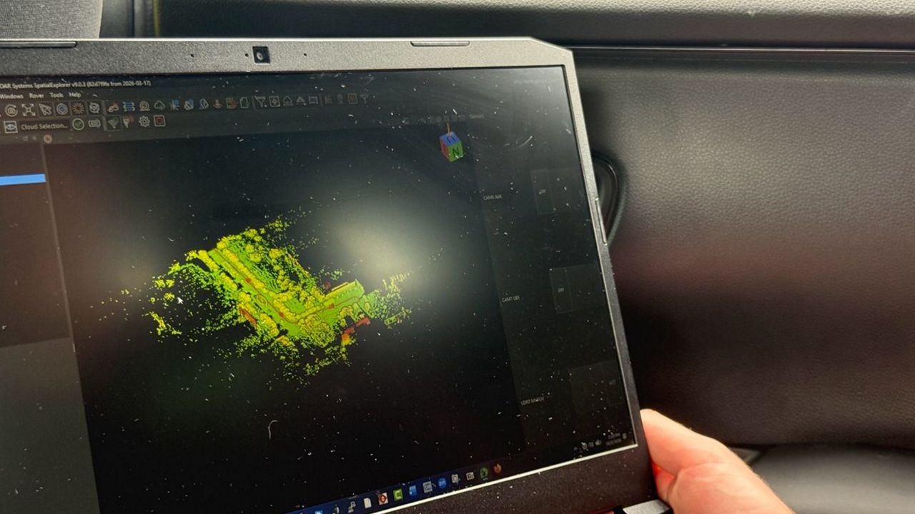
To measure that elevation, Kim partnered with USF’s Institute for Digital Exploration to access a device called LiDAR, meaning light detection and ranging.
The LiDAR sensor is placed on top of a car, along with a 360 camera and an antenna to identify the location.
There is a driver, a pathfinder in the passenger seat and someone in the back with a computer to track the data.
Davide Tanasi, USF director of the Institute for Digital Exploration, explained, “It’s a unit that projects out laser beams, and the laser beams hit points in the space. And then once they hit the points, they come back, and they are recorded by the unit themselves, and that happens 300,000 times per second. In this way, point by point, three-dimensional representation of the space, all around the unit, is captured.”
Tanasi pointed out that LiDAR is the best method for monitoring, but it’s also helpful in predicting possible damage.
The first neighborhood Kim drove through was Davis Islands. The drive took about five hours.
“The island was developed since 1924, and it’s huge mix with old and new houses with different living low elevation,” Kim said.
That is why he chose it as the first location.
“We found that most of the damaged houses with ground-level living floor space were built before 1980,” Kim said. “Until 1980, we didn’t have any elevation requirements for floodplain development. The elevated houses built since the 1980s, only few houses experienced flood damages. That means policy worked well.”
Kim said he learned that half of the homes on Davis Islands were built before the 1980s. He explained this data wasn’t previously available for homes in that time period.
“The best way (to fix this) is elevating old houses based on the current regulation. However, it costs a lot. That’s why the city of Tampa and county and Florida or federal government may be able to support financially or some other tax abatement,” Kim suggested.
This information was handed over to Tampa officials.
Kim noted, “It (a hurricane) will happen again. So we need to be prepared to minimize the flood damage.”
As his manuscript is under review, Kim said he continues to study other neighborhoods. He has already ridden through Gandy-Sun Bay South.
With more grant funding, Kim said he hopes to survey the Beach Park neighborhood next.
From there, the plan is to gather data from other coastal neighborhoods in Tampa.