
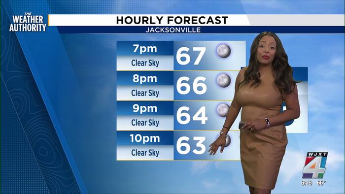
TODAY FORECAST
Sunshine remains as temperatures peak into the mid-70s before dropping into the upper 50s before midnight. Breezy winds remain in the teens with gusts in the 20s from the northeast. There is no chance for rain today.
TUESDAY MORNING
Temperatures will begin in the low 50s with light winds from the north, clear skies, mild humidity and no chance for rain.
HAZARDS
A high rip current risk remains and surf zone conditions remain dangerous. Boaters are discouraged to be on the ocean this week due to the water conditions. High surf is also a concern this week with breakers 7 to 11 feet.
FLOODING CHANCES AND BEACH CONDITIONS
Minor Tidal Flooding for St. Johns River Basin & Coast remain possible through mid-week. There could be some coastal flood this weekend and possible beach erosion during high tide.
Please stay out of the surf zone this week. Minor to moderate beach erosion is possible. Breakers are expected to be 7 to 11 feet.
Flooding will impact: Intercoastal, Saint Johns River Basin and Coast with 1.5 to 1.9 feet above normally dry ground during high tide.
TRACKING THE TROPICS
There are currently no threats for our area.
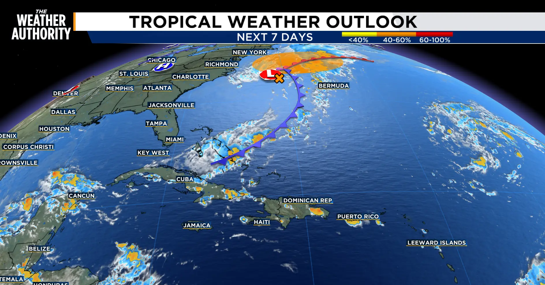 Non tropical low pressure near the northeast (WJXT TV 4)
Copyright 2026 by WJXT News4JAX – All rights reserved.