

Another freeze warning was issued by the National Weather Service in Tallahassee at 3:03 p.m. on Tuesday, Nov. 11. This warning applies to Dale, Henry, Houston, Jackson, Calhoun, Gadsden, Leon, Inland Jefferson, Madison, Inland Wakulla, Inland Taylor, Lafayette, Inland Dixie, Northern Liberty, Southern Liberty, Quitman, Clay, Randolph, Calhoun, Terrell, Dougherty, Lee, Worth, Turner, Tift, Ben Hill, Irwin, Early, Miller, Baker, Mitchell, Colquitt, Cook, Berrien, Seminole, Decatur, Grady, Thomas, Brooks, Lowndes and Lanier counties.
The NWS warns: “Take steps now to protect tender plants from the cold.”
Tallahassee area weather radar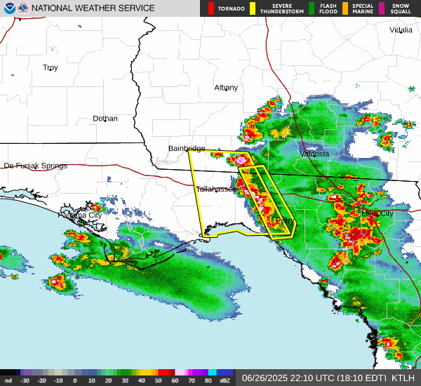 What are NWS meteorologists saying about what the region will face?
At 3:03 p.m., the NWS issued a statement including the following information:
WHAT: Sub-freezing temperatures as low as 28 expected.
WHERE: Portions of southeast Alabama, Big Bend and Panhandle Florida, and south central and southwest Georgia.
WHEN: From midnight EST /11 p.m. CST/ tonight to 8 a.m. EST /7 a.m. CST/ Wednesday.
IMPACTS: Frost and freeze conditions could kill crops, other sensitive vegetation and possibly damage unprotected outdoor plumbing.”
What are residents saying about the Tallahassee area?
“Freezing temperatures are expected to return, however the winds will be much lighter. Wind chills will not be a concern with values equal to or just below the actual temperatures. It is possible for frost to develop across the area late tonight into Wednesday morning. Temperatures are forecast to fall to the upper 20s/low 30s, especially for the southeast Big Bend. Aome of our SE Alabama counties and eastern FL Panhandle counties may hover at or just above freezing. During the day on Wednesday, we can expect a quick warmup to the low 70s for the afternoon; this is closer to the climatological norm.”
What is a freeze warning?
A Freeze Warning is issued when surface temperatures are expected to drop below freezing (32 degrees or lower) over a large area for an extended period, regardless of whether frost is expected to form.
A Frost Advisory is issued when frost is likely and when temperatures are forecast to drop to 33-36 degrees with clear skies and calm winds.
A Freeze Watch means there’s potential for widespread freezing temperatures (below or equal to 32 degrees) within the next 24-48 hours.
At what temperatures do pipes freeze?
Water in pipes begins to solidify into ice once temperatures dip below freezing, at 32 degrees or below.
Which pipes freeze most often?
The American Red Cross says the pipes most likely to freeze in homes include:
Pipes exposed to severe cold, such as outdoor hose bibs, swimming pool supply lines, and sprinkler lines. (Don’t forget to drain pool and sprinkler lines, too.)
Water supply pipes in unheated interior spaces, including basements, crawl spaces, attics, garages, and cabinets.
Pipes running along exterior walls with little or no insulation.
How to prevent pipes from freezing
Many people take precautions before the first cold front, since outdoor faucets are often unused until spring. If you haven’t prepared yet – or still need to use your faucets – here’s how to protect them:
Adjust your thermostat: Keep your home at a minimum of 60 degrees. Open cupboards and vanities, especially in kitchens and bathrooms, so warm air can reach pipes.
Drip faucets correctly: Set faucets to a small, steady drip rather than a stream to conserve water while preventing freezing. Focus on the faucet farthest from your home’s main water valve.
Cover outdoor spigots: Before temperatures drop below 32 degrees, open outdoor spigots to let water drain out and place protective covers over them.
Stay informed. Get weather alerts via text.
This weather report was generated automatically using information from the National Weather Service and a story written and reviewed by an editor.
See the latest weather alerts and forecasts here
This article originally appeared on Tallahassee Democrat: Another freeze warning issued for Tallahassee area