
South Florida will see warmer temperatures and spotty afternoon showers Thursday as the region prepares for a stretch of wet and windy weather that could bring heavy downpours, strong wind gusts and coastal flooding early next week.
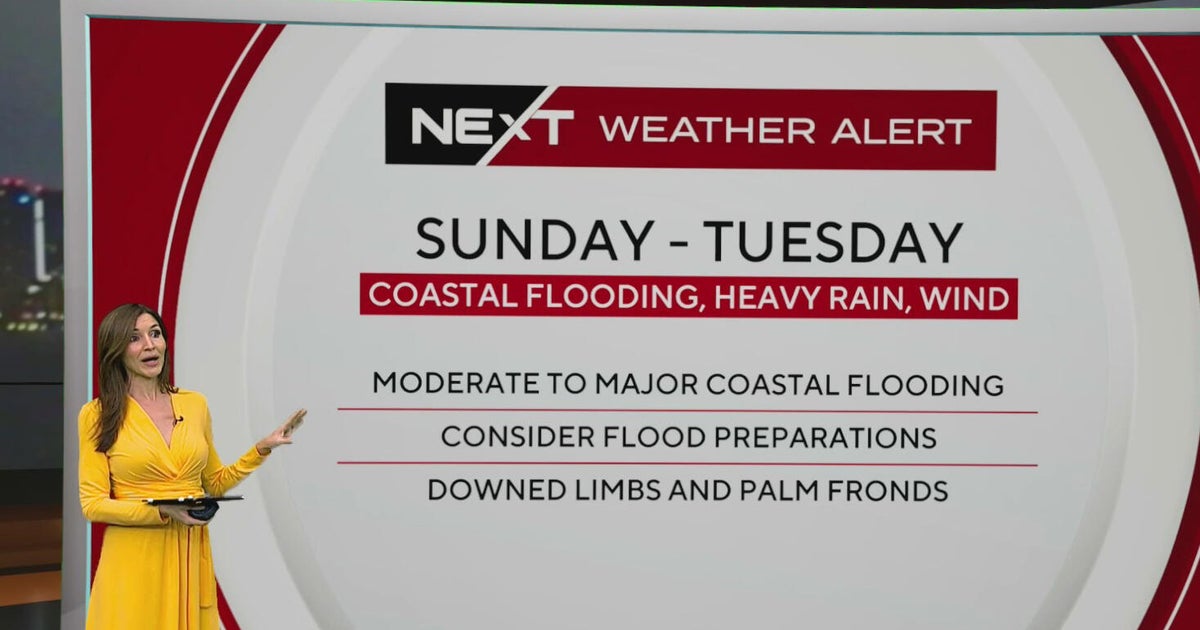
The NEXT Weather team has issued a NEXT Weather Alert for Sunday through Tuesday, when widespread rain, gusty winds and king tides could combine to create hazardous conditions across parts of South Florida.
Sunday and Monday are expected to bring some of the worst weather, with the potential for flooding and wind gusts reaching 35 mph or higher.
Warmer temperatures and spotty showers Thursday
Thursday morning started relatively quiet across South Florida, although a few showers developed in Broward, including near Oakland Park and Ferncrest Village.
Temperatures were noticeably warmer than Wednesday morning, with most areas waking up in the low 70s instead of the upper 60s.
Miami and Hialeah recorded temperatures near 72 degrees early Thursday, while Kendall was at 71 degrees, Fort Lauderdale at 73 degrees and Pompano Beach at 74 degrees.
A few inland locations could briefly dip into the upper 60s before sunrise.
Afternoon highs are expected to reach the low 80s, with spotty showers developing as northeast winds increase throughout the day.
Winds were already blowing between 7 and 15 mph Thursday morning, with a strengthening onshore flow expected to bring breezier conditions.
Showers could develop around lunchtime and continue into the afternoon, potentially affecting school dismissal in some neighborhoods.
Coastal flooding and dangerous beach conditions
Beachgoers should exercise caution Thursday as a high risk of rip currents makes swimming dangerous along South Florida’s Atlantic beaches.
A small craft advisory is also in effect for Atlantic waters.
Meanwhile, king tides are contributing to an increased risk of coastal flooding.
A coastal flood advisory is in effect for Miami-Dade and Broward counties and the Upper Keys, while a coastal flood statement covers the Middle and Lower Keys.
High tides could bring saltwater flooding to vulnerable coastal communities, particularly in low-lying areas.
The next high tide is expected around 6 a.m. in Fort Lauderdale, with Miami’s high tide occurring later in the morning and Key West’s around 7:30 p.m.
Coastal flooding concerns are expected to increase heading into the weekend as stronger onshore winds combine with the ongoing king tide cycle.
NEXT Weather Alert issued for Sunday through Tuesday
Friday will bring another round of afternoon showers and thunderstorms, with rain coverage expected to increase as the weekend approaches.
Saturday is currently shaping up to be the better of the two weekend days, although scattered thunderstorms remain possible.
Conditions are expected to deteriorate Sunday as more widespread showers, thunderstorms and heavy downpours move across South Florida.
The NEXT Weather team is tracking the potential for moderate to major coastal flooding, particularly as strong northeast winds push additional water toward the coastline during the king tide cycle.
Sunday and Monday are forecast to be the windiest days, with gusts potentially reaching or exceeding 35 mph.
The combination of heavy rainfall and elevated tides could also make it more difficult for water to drain from flood-prone neighborhoods.
Unsettled conditions are expected to continue Tuesday, keeping the NEXT Weather Alert in effect for a third consecutive day.
Forecasters will continue monitoring updated weather models to determine which areas face the greatest risk of flooding and strong winds.
What’s happening in the tropics?
The NEXT Weather team is also monitoring activity in the Atlantic basin.
Tropical Storm Josephine is moving away from the northeastern U.S. coastline and is forecast to become a powerful extratropical cyclone as it continues into the open Atlantic.
Josephine is not expected to pose a threat to the United States.
Forecasters are also watching another area of disturbed weather that currently has a 10% chance of tropical development.
For South Florida, the immediate concern remains the approaching stretch of heavy rain, gusty winds and coastal flooding expected Sunday through Tuesday.
Residents should continue monitoring the latest NEXT Weather forecasts as conditions and potential impacts become clearer heading into the weekend.