
JACKSONVILLE, Fla. — Here’s what the First Alert Weather Team said you can expect for the forecast:
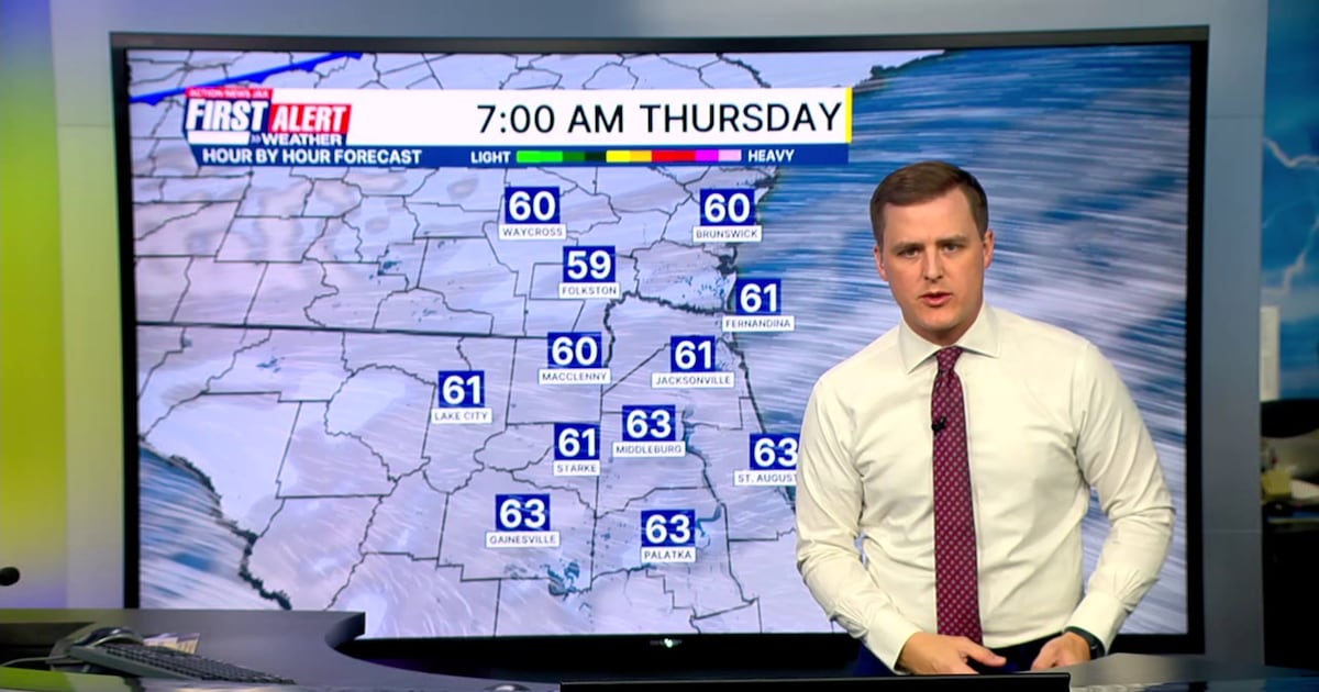
A dry morning commute with temperatures in the 50s and 60s.Thursday afternoon stays mild and mostly cloudy with a breezy west wind of 10–15 mph, gusts 20–25 mph.A strong cold front will pass through our area Thursday evening.No rain is expected along the front, but winds behind it will usher in the coolest air so far this season.Overnight will bring clearing skies and a noticeable drop in humidity.Highs this weekend will be in the low to mid 60s with lows in the 30s inland and 40s along the coast.First patchy frost of the season is possible for inland Southeast Georgia over the weekend.
WATCH THE FORECAST | DOWNLOAD THE APPS
TROPICS:
No active storms.Hurricane season ends on November 30.
TODAY: Mostly cloudy and turning breezy. HIGH: 79
TONIGHT: Clearing skies with a drop in humidity. LOW: 52
FRIDAY: Breezy and cooler, mostly sunny. 52/68
SATURDAY: Sunny and much cooler. 42/60
SUNDAY: Mostly sunny. 41/66
MONDAY: Partly cloudy. 49/69
TUESDAY: Cloudy and breezy with a few showers. 56/66
WEDNESDAY: Cloudy and breezy with a few showers. 55/67
Follow Action News Jax Meteorologists on Twitter for updates:
Mike Buresh | Garrett Bedenbaugh | Corey Simma | Trevor Gibbs
ALLERGY TRACKER: See what the pollen counts look like in our area
LISTEN: Mike Buresh ‘All the Weather, All the Time’ Podcast
INTERACTIVE RADAR: Keep track of the rain as it moves through your neighborhood