
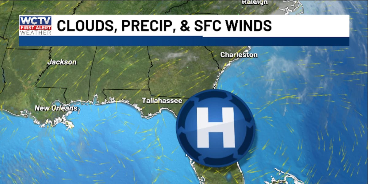
TALLAHASSEE, Fla. (WCTV) – We are looking dry and breezy for the second half of the weekend.
Tonight Through Sunday Night
We are quiet and cool for Saturday night. Low temperatures settle in the upper-40s and low-50s under a mostly clear sky.
Another warm, dry day is ahead for Sunday. Highs climb into the upper-70s and low-80s under a mix of Sun and clouds. We are also expecting a breezy wind. We could see some wind gusts up to 15 mph.
Calm conditions continue for Sunday night. Overnight lows fall into the mid-50s under a partly cloudy to mostly clear sky.
Starting The New Work Week
The weather pattern stays stagnant to start the new week.
We are dry on Monday under a mix of Sun and clouds. Highs reach the upper-70s and low-80s, and lows settle in the upper-40s.
Dry conditions continue on Tuesday. Temperatures climb into the low-80s under plenty of sunshine. Lows fall into the low-50s.
Our “copy and paste” forecast will stick around for Wednesday. Highs top out in the low-80s under some sunshine. Lows bottom out in the mid-50s.
Extended Forecast
Looking ahead, we could see a few rain chances to end the week.
Thursday is looking dry and sunny. Highs stay in the low-80s, with lows in the upper-50s.
A few showers could be possible for Friday and Saturday, but rain chances are not super impressive at this time.
Temperatures for both days hover in the upper-70s to low-80s, and lows settle in the upper-50s to low-60s.
To stay updated on all the latest forecasts and weather, follow WCTV First Alert Weather on Facebook and X (Twitter).
Click here to see all the latest weather headlines and here to view the First Alert Radar. Receive push alerts and watch the latest forecast anytime on the free WCTV First Alert Weather app. Click here to download it now.
Interested in becoming a WCTV First Alert Weather Watcher? Click here to join the team!
Copyright 2025 WCTV. All rights reserved.