
ORLANDO, Fla. – Central Florida is locked into a warm, sunny stretch, but the atmosphere is already hinting at a shake-up just after Thanksgiving.
While confidence is still building, signs point to our first meaningful cold front in a while arriving late next week. This setup could cause some issues and delays if you’re planning on holiday travel up north.
This Week
With high pressure both in the upper levels and at the surface, Wednesday through Saturday brings rinse-and-repeat weather: sunny skies and highs in the low 80s.
These calm conditions could make the mornings a bit foggy with some pockets being dense.
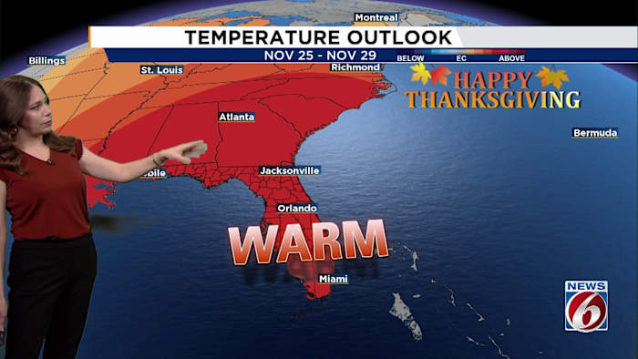
[VIDEO BELOW: What’s going on with the weather pattern?]
Sunday
As we move into Sunday, a weakening cold front slides toward North Florida. It won’t pack much punch as the front fades out by Monday. Don’t expect much of an impact temperature-wise, but there could be a slight uptick in the breeze.
Next Week
By early next week, onshore flow returns as another bubble of high pressure sits off the East Coast. Warm and dry conditions continue, and deeper tropical moisture remains locked north of Central Florida.
A stronger signal comes from a second disturbance moving out of the northeastern Pacific on Monday and into the Great Lakes by Thanksgiving Day.
That system looks like the best candidate to drag a legitimate cold front into Florida by Black Friday.
Any cooldown behind that front may be short-lived, with more extended-range models continuing to hint at rising cold-weather potential deeper by mid-December.
[VIDEO BELOW: This US city just went dark for a while]
Daily Forecast
The News 6 Weather team ensures you’re always on top of the day’s weather.
Copyright 2025 by WKMG ClickOrlando – All rights reserved.