
TALLAHASSEE, Fla. (WCTV) – A nice weekend, with only a tiny chance for showers.
Isolated shower Saturday
Some morning fog will slow down your morning drive if you are heading out before 10 a.m. Visibility is under 1 mile for some spots for the morning drive.
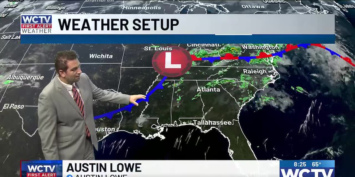
By late morning and early afternoon, a cold front will spark off isolated showers across North Florida and South Georgia. This will truly be a hit or miss light shower and that is it. Otherwise, mostly cloudy to begin the day. Partly sunny by the afternoon. Highs in the low 80s.
Breezy at times throughout your Saturday as well. Winds sustained up to 10 mph, with gusts reaching 20 mph at times.
Brighter Sunday
Sunny skies for your Sunday. Highs in the low 80s. Winds shift north 5 to 10 mph.
Thanksgiving week
No active weather to start Thanksgiving week locally. If you have any last-minute errands to run before the holiday, the weather will cooperate.
On Wednesday, another front will move through the southeastern United States. This will bring a chance for a few showers to the Big Bend and South Georgia. Temperatures in the upper 70s
Thanksgiving is trending drier as high pressure moves in. Highs cool off into the upper 60s and low 70s.
Watch the video above to see the full forecast.
To stay updated on all the latest forecasts and weather, follow WCTV First Alert Weather on Facebook and X (Twitter).
Click here to see all the latest weather headlines and here to view the First Alert Radar. Receive push alerts and watch the latest forecast anytime on the free WCTV First Alert Weather app. Click here to download it now.
Interested in becoming a WCTV First Alert Weather Watcher? Click here to join the team!
Copyright 2025 WCTV. All rights reserved.