ORLANDO, Fla. – From early morning fog to an uncertain shifting weather pattern by Thanksgiving, there are a few things you’ll want to keep a close eye on for the holiday week ahead in Central Florida.
Aside from pesky and thick morning fog, afternoons will stay warm and dry for late November.
Highs will run in the low to mid-80s, well above the upper 70s, which is the normal high for this time of year.
[VIDEO BELOW: Winter outlook in Florida]
Morning lows remain in the upper 50s to low 60s.
A moderate risk of dangerous rip currents continues at the beaches, so always swim near a lifeguard and never swim alone.
From Sunday into Monday, a weak front moves through, although you shouldn’t expect much from it, a couple of isolated showers at best (10-20%).
Temperatures dip only slightly, with highs in the upper 70s to low 80s. Patchy fog is possible again Sunday morning before the front passes but becomes less likely on Monday.
[VIDEO BELOW: Get most out of free News 6 Weather App]
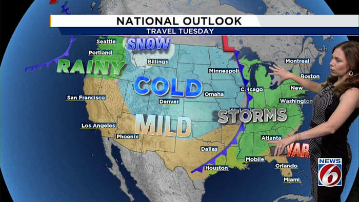
Tuesday through Thursday brings another warmup as high pressure moves offshore and southerly flow returns. Conditions look mostly dry aside from the occasional coastal showers.
By Thanksgiving, attention turns to a larger system sending a weakening cold front toward Florida.
The two major models disagree significantly, however.
The American model (GFS) shows more moisture and higher rain chances (20–50%), while the European model (ECMWF) is much drier (10–20%).
[VIDEO BELOW: SpaceX sends up 100th rocket in Fla. this year]
The latest forecast leans toward the drier scenario, calling for 10–20% chances on Thanksgiving.
Slightly cooler, more seasonable holiday temperatures are expected behind the front.
A better chance of more noticeable cooler weather may arrive the first weekend of December.
Daily Forecast
The News 6 Weather team ensures you’re always on top of the day’s weather.
Copyright 2025 by WKMG ClickOrlando – All rights reserved.

