
ORLANDO, Fla. – Warm, comfortable days are hanging on for just a little longer before a sharp cooldown arrives just in time for the Thanksgiving holiday.
MONDAY & TUESDAY
Temperatures stay warm for late November, with highs in the low 80s across most of east-central Florida and upper 70s along the Volusia County coast. Overnight lows hold in the 60s.
Fog may be the biggest impact early in the week. The combination of light winds and lingering moisture, patchy to locally dense fog could develop again late Monday into Tuesday.
WEDNESDAY
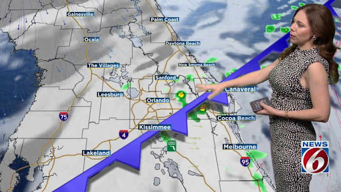
By Wednesday, the ridge of high pressure overhead begins to weaken as the Jetstream begins to dip over the East. This opens the door for a stronger cold front expected to move through late Wednesday night into early Thursday. Aside from a few isolated showers, most areas should stay mostly dry with coverage at less than 20%.
Wednesday will be the warmest day of the stretch, with highs in the low to mid 80s.
THANKSGIVING & BLACK FRIDAY
Behind the front, temperatures take a noticeable dive for Thanksgiving Day. Highs fall into the upper 60s along the Volusia coast and into the 70s farther inland. Even cooler air settles in Thursday night into early Black Friday, with lows dipping into the upper 40s northwest of I-4, and 50s elsewhere.
Friday remains cool, with highs only in the mid 60s to low 70s and a steady north-northeast breeze reinforcing the chill.
WEEKEND
High pressure builds in to the north on Saturday, tightening the pressure gradient and bringing breezy onshore winds through the weekend.
This will gradually warm temperatures back up highs returning to near normal in the upper 70s to near 80 degrees.
Daily Forecast
The News 6 Weather team ensures you’re always on top of the day’s weather.
Copyright 2025 by WKMG ClickOrlando – All rights reserved.