
ORLANDO, Fla. – Central Florida is gearing up for a significant swing in temperatures this week, with plenty of heat giving way to a refreshing cooldown just in time for Thanksgiving.
Tuesday
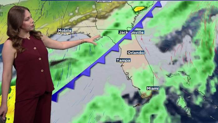
A weak cold front is still draped over the region for your Tuesday, keeping a slim 10-20% chance of rain in place. Temperatures stay warmer than normal with afternoon highs in the low to mid 80s and morning lows in the mid to upper 60s.
Wednesday
Wednesday brings the warmest weather of the week as a developing cold front begins its approach toward Florida. Southwesterly winds ahead of the front will push highs into the mid 80s, which is about 7-8 degrees above normal and a few degrees shy of daily records.
Thanksgiving
The strong cold front is forecast to finally move into Central Florida late Wednesday night into Thanksgiving Day. Along the boundary, little rain is expected before a noticeable cool down starts up.
Temperatures will struggle to warm through the day with highs reaching the upper 60s to low 70s.
Behind the front, northerly winds increase to around 10 mph inland and 10–15 mph along the coast, with gusts up to 20 mph.
Friday-Weekend
Friday and Saturday look cooler, breezy and dry as high pressure settles over the Deep South.
Black Friday morning, many will be waking up in the 40s northwest of I-4 to low 50s elsewhere. Highs will struggle to reach the 70-degree mark with most of the area staying in the 60s.
Daily Forecast
The News 6 Weather team ensures you’re always on top of the day’s weather.
Copyright 2025 by WKMG ClickOrlando – All rights reserved.