Brisk winds and a fast-moving cold front will drive wind chills into the 30s and 40s early Friday.
TAMPA, Fla. — After a mild Thanksgiving, a surge of cold air will settle into the region to end the week.
Temperatures will tumble nearly 20 degrees within 24 hours, setting up a few chilly mornings as we close out November. Lows will fall into the mid-40s early Friday with winds adding an extra bite to the air. Saturday morning will also start chilly before a quick warm-up returns by the second half of the weekend.
Weather Impact Alert
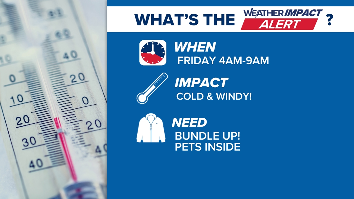
WHEN: 4 a.m. to 9 a.m. on Friday morning
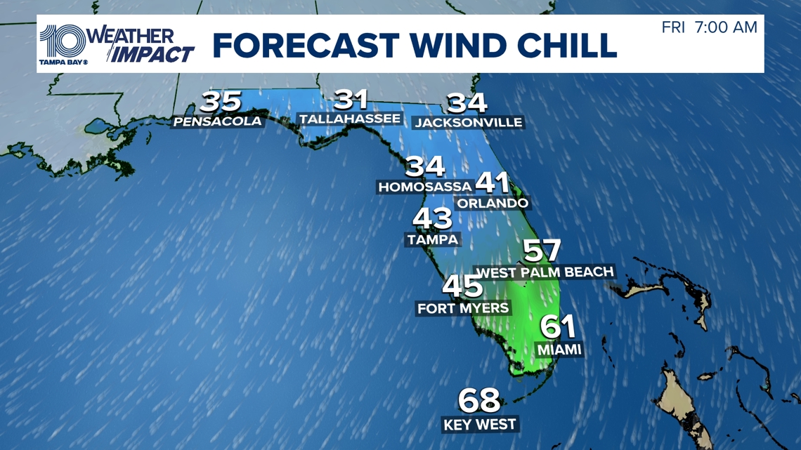
IMPACT: A blast of colder, drier air will push in behind a front, sending morning lows into the 40s across much of the area. Winds gusting up to 25 mph will create wind chill values in the 30s north of I-4 and low 40s elsewhere, making it feel significantly colder than the actual temperature.
Highs on Friday will struggle to climb out of the 60s. Portions of northeast Florida are under a freeze watch early Friday—just north of our viewing area—but it highlights the strength of this cold air mass. Some cold-weather shelters may open in our northernmost counties.
NEED: Plan for a cold, windy start. If you’ll be outside early, bundle up with layers, hats and gloves. Allow extra time for kids at bus stops and anyone heading to early shifts. Check on neighbors sensitive to cold, and verify shelter availability if needed.