

SATURDAY: High pressure has been building in behind the cold front that swung through on Thanksgiving.
That has been shifting east over the last 24 hours and now we have a NE wind.
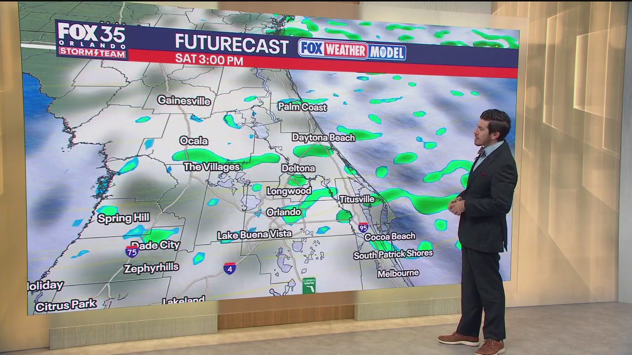
That onshore flow is making for more clouds today as well as a spotty shower chance. Highs will be warmer today as well, thanks to that onshore wind. Temperatures look to top out around 72°.
Overnight, lows stay milder, falling close to 60° in the metro.
SUNDAY: The breeze continues to come in from the ENE on Sunday and that will keep the clouds around as well as a stray sprinkle or two.
Afternoon readings will rebound even more so as this ridge of high pressure works eastward.
This ridge allows our temps to climb back above average (76°) topping out close to 80 Sunday afternoon.
Sunday night will be quiet but warmer, with a bit more cloud cover around. Lows only fall back into the low to mid-60s which is also above normal.
LOOKING AHEAD: The warming trend continues into early next week as the storm system producing snow to storms in the Midwest moves our way. Highs on Monday look to top out in the upper 70s and lower 80s under peeks of sun. Rain chances rise a touch as well, near 20% to kick-off the workweek.
As this cold front slides our way on Tuesday, we’ll see the highest rain chances developing, rising to 50%.
Hit or miss showers and a few storms are on the table as this front works through Central Florida.
On the backside of it, we’ll clear out midweek as drier air settles in.
Temperatures drop back below normal, into the lower to middle 70s with lowers in the 40s-50s.
The chill doesn’t stick around though, with highs rising back close to 80° by the end of the workweek. Another system approaches with a couple showers possible late Friday.