
JACKSONVILLE, Fla. — Here’s what the First Alert Weather Team said you can expect for the First Alert Weather forecast:
WATCH THE FORECAST | DOWNLOAD THE APPS
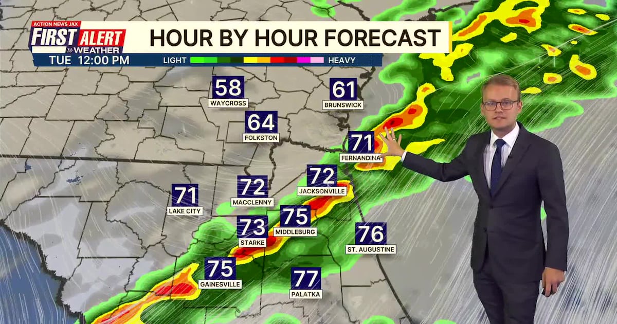
Sunday morning is dry with mild temperatures in the 50s and 60s.Highs will be warmer Sunday in the mid-70s with a mix of sunshine and clouds.Dry weather for regional travelers to finish the holiday weekend.More clouds Monday, but still mainly dry.A few showers will be possible late Monday evening/night ahead of Tuesday’s cold front.Tuesday will feature a line of showers and some embedded thunderstorms moving from northwest to southeast across the local area.This is the best opportunity for rain we’ve had in more than a month. Rain amounts will generally be 0.25-0.75″ with locally higher amounts.
LISTEN: Mike Buresh ‘All the Weather, All the Time’ Podcast
TROPICS:
Nothing.Today is the final day of the 2025 Atlantic Hurricane Season.
INTERACTIVE RADAR: Keep track of the rain as it moves through your neighborhood
TODAY: Partly cloudy and comfortably warm. HIGH: 75
TONIGHT: Partly to mostly cloudy. LOW: 57
MONDAY: Mostly cloudy, isolated showers late. 57/71
TUESDAY: Partly to mostly cloudy and breezy, scattered showers/a few storms. 63/75
WEDNESDAY: Mostly sunny. 47/67
THURSDAY: Mostly to partly sunny. 45/67
FRIDAY: Partly cloudy, isolated shower. 46/76
SATURDAY: Partly cloudy with a few showers late. 54/76
Follow Action News Jax Meteorologists on Twitter for updates:
Mike Buresh | Garrett Bedenbaugh | Corey Simma | Trevor Gibbs
ALLERGY TRACKER: See what the pollen counts look like in our area
SHARE WITH US: Send us photos of the weather you’re seeing in your area ⬇️