
TALLAHASSEE, Fla. (WCTV) – We are drier and cooler for the middle of the week, but another rain chance is looming.
Tonight Through Wednesday Night
A cooler airmass will return to the Big Bend and South Georgia for tonight. Lows fall into the upper-30s and low-40s under a clearing sky.
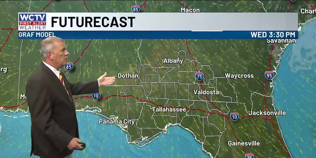
We are tracking dry, mostly sunny weather on Wednesday. Highs top out in the low-60s.
Another dry, cool evening is on tap for Wednesday night. Lows bottom out in the upper-30s under a mostly clear to partly cloudy sky.
Ending The Work Week
Clouds will increase on Thursday ahead of another weather system. Scattered showers are looking possible. Temperatures top out in the low-to-mid-60s, and lows settle in the upper-40s.
We are tracking another round of scattered showers to end the work week. Highs on Friday hover in the upper-60s and low-70s under a mostly cloudy sky. Lows only fall into the upper-50s.
Weekend Forecast
Scattered rain chances look to linger as we start the weekend. Temperatures on Saturday reach the mid-60s under a mostly cloudy sky. Lows settle in the mid-50s.
We could see a few more showers on Sunday, but the current model data is not in great agreement for the second half of the weekend. We will keep an eye on that. Highs on Sunday top out in the mid-and-upper-60s under a mostly cloudy sky. Lows bottom out in the upper-40s.
To stay updated on all the latest forecasts and weather, follow WCTV First Alert Weather on Facebook and X (Twitter).
Click here to see all the latest weather headlines and here to view the First Alert Radar. Receive push alerts and watch the latest forecast anytime on the free WCTV First Alert Weather app. Click here to download it now.
Interested in becoming a WCTV First Alert Weather Watcher? Click here to join the team!
Copyright 2025 WCTV. All rights reserved.