
ORLANDO, Fla. – Expect sunshine and mild temperatures Thursday across Central Florida, but more moisture will begin creeping in as we head into the weekend.
Thursday-Friday
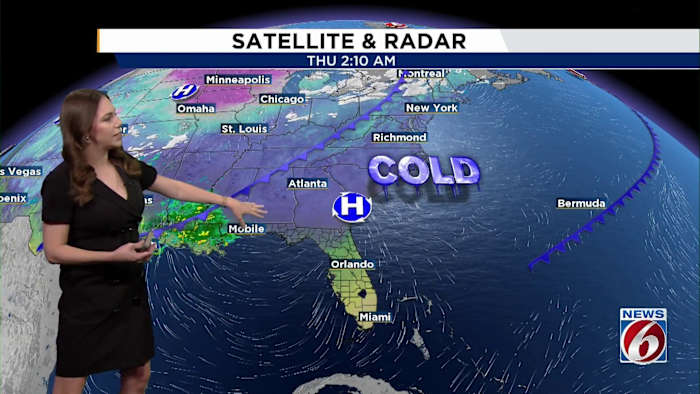
High pressure over the area continues to weaken but conditions stay mostly dry.
Temperatures continue their gradual warm up, with highs reaching the low to mid-70s along the Volusia coast and the upper 70s elsewhere.
Friday is even warmer, with widespread temps near 80 degrees.
Lows remain mild in the mid- to low 60s.
[VIDEO BELOW: Get the most out of the free News 6 Weather App]
Weekend
As we move into the weekend, a stalled front across north-central Florida becomes the main player.
Isolated to scattered showers (20–50%) develop Saturday night as moisture deepens.
Rain chances increase for everyone on Sunday, rising to 40–60%, with lingering chances Sunday night.
While severe weather threat remains minimal, a few thunderstorms on Sunday can’t be ruled out.
Temperatures stay warm through the weekend, with highs in the upper 70s to low 80s.
[ASK TROOPER STEVE: Extra patrols during holidays]
Next Week
On Monday, the front finally starts sliding south, and showers will taper from north to south through the day.
Behind the front, high pressure builds in and brings a stretch of drier, cooler weather Monday night through Wednesday.
Daytime highs are expected to dip into the upper 60s to the low-to-mid 70s.
Overnight lows fall into the 50s Monday night and Tuesday morning, with upper 40s possible in parts of north Lake and northwest Volusia counties.
The coldest night will be Tuesday, when lows in the mid-40s settle in north and west of I-4.
Daily Forecast
The News 6 Weather team ensures you’re always on top of the day’s weather.
Copyright 2025 by WKMG ClickOrlando – All rights reserved.