
TALLAHASSEE, Fla. (WCTV) – The steady rain continues throughout your Sunday.
A wet end to the weekend:
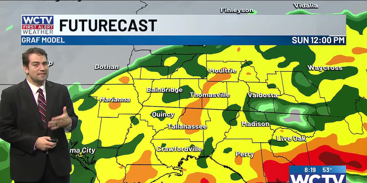
Rain is coming down this morning as you head out the door for church or errands. Rain is expected to continue throughout the day with little to no break from wet weather.
I would have the rain gear handy throughout the day.
Clouds and showers will once again keep highs in the 50s across North Florida and South Georgia.
Rain will slowly start to move out from west to east throughout the evening. Many will see the persistent rain end by dinner time.
Spotty showers will continue overnight; otherwise, it will be mostly cloudy with lows in the 50s.
A cold front will kick this stubborn boundary that has been stuck in our area over the last few days. The front will spark a few showers Monday morning and will keep clouds around for the first half of the day.
Clouds to start next week:
As you head out the door on Monday, temperatures will be in the 50s. A little warmer with temperatures reaching the low to mid-60s.
Nice midweek:
Temperatures in the upper 50s and low 60s with some sunshine on Tuesday and Wednesday. These look like great days to cut down the Christmas trees.
Late week front:
Gradually warming Thursday and Friday before a late-week cold front brings a small chance for showers. Behind Friday’s front, some really chilly air returns. Lows in the 30s and possibly 20s. Highs in the 50s.
To stay updated on all the latest forecasts and weather, follow WCTV First Alert Weather on Facebook and X (Twitter).
Click here to see all the latest weather headlines and here to view the First Alert Radar. Receive push alerts and watch the latest forecast anytime on the free WCTV First Alert Weather app. Click here to download it now.
Interested in becoming a WCTV First Alert Weather Watcher? Click here to join the team!
Copyright 2025 WCTV. All rights reserved.