
ORLANDO, Fla. – The front that pushed in over the weekend could just be the season-changer.
Yes, we will inevitably crank up the thermostat again, but for the next week, the oppressive humidity is on vacation.
The two big seasons in Florida are the wet and dry season.
The dry season is characterized by the daily afternoon thunderstorms coming to an end and dew point temperatures routinely below 70 degrees.
Dew Point
For perspective, the dew point is typically in the mid-to-upper 70s during the summer months with no real variability.
The above typically happens after a strong cold front sends temperatures below 60 degrees for the first time in the season.
Lows Monday 10/13
Most of Central Florida woke up in the low-to-mid 60s Sunday and Monday morning with several towns slipping into the 50s north of Orlando.
This season-changing front typically arrives in mid-October, so if this is in fact the front that ushers in the dry season, it would just be a couple of days early.
Start of wet & dry seasons
It will take a couple of weeks to make it official, but it sure looks like this past weekend’s front just sent Central Florida into the dry season.
Through the next week, dew point temperatures look to remain in the mid 60s signaling the lower humidity. Rain chances will be limited at best.
Long range guidance does shows a short-lived humidity surge early next week which could put the brakes on this past weekend being the official start.
Dew point next week
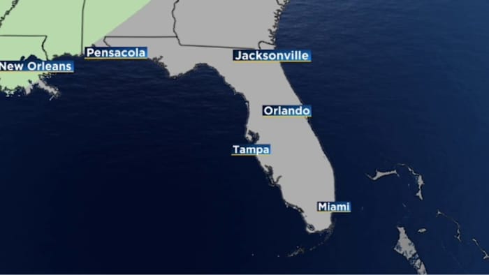
The green on the map above represents dew point temperatures in the 70s, signaling a more humid airmass.
The dry season doesn’t mean it will be free from rain as cold front’s typically bring rain as they push through the Florida peninsula.
The key is the daily rainfall mechanism in the summer, the sea breeze, goes into hibernation until late in the spring.
Copyright 2025 by WKMG ClickOrlando – All rights reserved.