
TALLAHASSEE, Fla. (WCTV) – High pressure will keep us dry, clear and cold for Tuesday night.
Tonight Through Wednesday Night
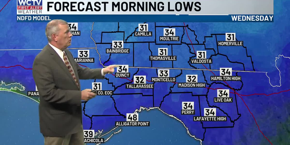
A cold night is on tap across the Big Bend and South Georgia. Lows bottom out in the low-30s under a clear sky. Be sure to bundle up for your Wednesday morning commute.
High pressure will stay in control on Wednesday. As a result, we are dry and sunny. Temperatures are near average for mid-December. We top out in the mid-60s.
We are quiet and mostly clear for Wednesday night. Lows bottom out in the low-40s.
Ending The Work Week
A weak cold front will move across the region for late Wednesday and early Thursday. The moisture is pretty low with this system, so we are not anticipating rain chances. However, this should bring another shot of cooler air on Thursday.
Highs on Thursday top out in the upper-50s and low-60s under a mostly sunny sky. Lows tumble into the low-30s.
We are warming up to end the work week. Temperatures on Friday climb into the upper-60s under a mostly sunny sky. Overnight lows settle in the mid-40s.
Weekend Forecast
Looking ahead, the forecast is looking mostly quiet and mild for much of the weekend.
A stray shower could be possible on Sunday, but the rain chance is not very impressive at this point.
Highs climb into the low-70s under a mix of Sun and clouds for both days.
Lows for Saturday night only fall into the low-50s. However, we are tracking some cooler conditions by Sunday night. We bottom out in the low-40s to end the weekend.
To stay updated on all the latest forecasts and weather, follow WCTV First Alert Weather on Facebook and X (Twitter).
Click here to see all the latest weather headlines and here to view the First Alert Radar. Receive push alerts and watch the latest forecast anytime on the free WCTV First Alert Weather app. Click here to download it now.
Interested in becoming a WCTV First Alert Weather Watcher? Click here to join the team!
Copyright 2025 WCTV. All rights reserved.