
TALLAHASSEE, Fla. (WCTV) – Cold mornings this weekend, warm and sunny afternoons.
🌑This evening and tonight:
This morning’s cold front is long gone and is keeping the weather warm and sunny to end the week. If you have evening plans, expect cool weather in the 50s and dry conditions.
A cold night is expected as high pressure develops overhead. Temperatures are expected to tumble into the low 30s. Areas of patchy frost will be possible as you wake up Saturday morning for inland Big Bend and South Georgia communities.
☀️Weekend warmth:
High pressure will persist for much of the weekend, keeping skies sunny and warm on Saturday and Sunday. Highs in the upper 60s to low 70s. Sunday morning will also be in the low 30s. So, a cold start to both weekend days.
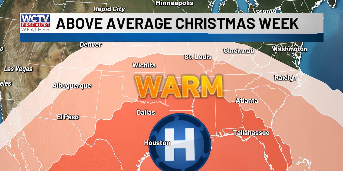
🎄Christmas Week:
Hard to believe Christmas is nearly here, along with the end of 2025. A ridge of high pressure starts to build in the upper atmosphere. This will lead to a very warm weather pattern for Christmas week. Highs will be in the 70s, including on Christmas Eve and Christmas Day. Lows in the upper 40s.
🌡️The record high for Christmas Day for the capital city is 82, set back in 2016.
Mostly sunny skies during the holiday week as well.
You can track the weather 24/7 with WCTV First Alert Weather Now to stay updated with the holiday weather and enjoy some Christmas tunes. 🎶🎄
To stay updated on all the latest forecasts and weather, follow WCTV First Alert Weather on Facebook and X (Twitter).
Click here to see all the latest weather headlines and here to view the First Alert Radar. Receive push alerts and watch the latest forecast anytime on the free WCTV First Alert Weather app. Click here to download it now.
Interested in becoming a WCTV First Alert Weather Watcher? Click here to join the team!
Copyright 2025 WCTV. All rights reserved.