
TALLAHASSEE, Fla. (WCTV) – A warming trend will continue for the week of Christmas.
Tonight Through Sunday Night
A dry, clear evening is on tap for the Big Bend and South Georgia. Temperatures are chilly. We bottom out in the low-to-mid-30s.
High pressure will continue to control the forecast for the second half of the weekend. We are dry on Sunday under more sunshine. Temperatures climb into the upper-60s and low-70s.
A weak weather system will sweep across the region late Sunday and early Monday. We are not anticipating moisture with this front, but it may bring a few more clouds and a little more wind. As a result, low temperatures are not as cold for Sunday night. We dip into the mid-40s.
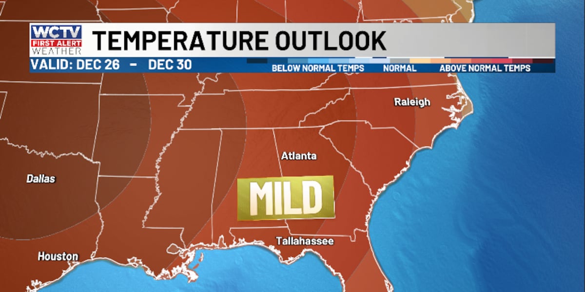
Tracking December Warmth
Behind this weak cold front, temperatures are slightly cooler on Monday. Highs hover in the upper-60s under a mostly sunny sky. Lows bottom out in the mid-and-upper-40s.
Highs begin to warm on Tuesday as high pressure stays in control. Temperatures climb into the mid-70s under a mostly sunny sky. Lows settle near 50º.
The forecast is looking warm and dry for Christmas Eve. Highs hover in the mid-70s under a sunny sky. Lows bottom out in the upper-40s to low-50s.
Christmas Day & Beyond
Our “copy and paste” forecast will stick around for Christmas Day. Highs remain in the mid-70s under a mostly sunny sky. Lows fall into the upper-40s and low-50s.
Looking ahead, the weather pattern is looking mostly dry and warm for Friday. Temperatures top out in the mid-70s under a mostly sunny sky. Overnight lows bottom out in the mid-50s.
To stay updated on all the latest forecasts and weather, follow WCTV First Alert Weather on Facebook and X (Twitter).
Click here to see all the latest weather headlines and here to view the First Alert Radar. Receive push alerts and watch the latest forecast anytime on the free WCTV First Alert Weather app. Click here to download it now.
Interested in becoming a WCTV First Alert Weather Watcher? Click here to join the team!
Copyright 2025 WCTV. All rights reserved.