
TALLAHASSEE, Fla. (WCTV) – Very warm weather through your holiday with dense fog possible through Friday morning.
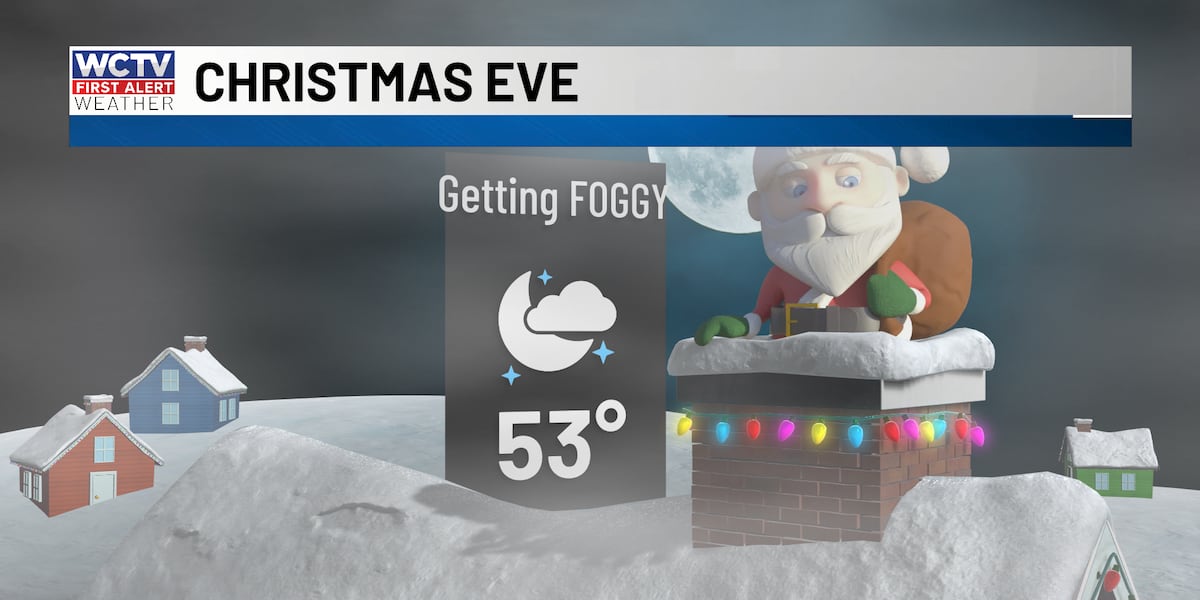
🎅One foggy Christmas:
A favorable setup for some dense fog to develop overnight as high pressure to our south brings moisture to the area. The fog could lead to some minor travel delays if you are driving or flying.
It looks like the thickest fog will be west of the area. If you are traveling to Mississippi, Alabama or Louisiana, you may face the worst of the travel along I-10.
Low temperatures will be mild in the low 50s.
You can stream weather 24/7 on WCTV First Alert Weather NOW. Enjoy soothing holiday music while getting local weather updates and a travel forecast for your Christmas Eve and Christmas Day. 🎶🎄
🎄Near-record Christmas Day
A foggy start to your holiday is expected, but the fog should be gone by mid to late-morning. Mostly sunny skies are back for the rest of your holiday, leading to another very warm day. Highs are expected to reach the mid to upper 70s to near 80 degrees once again.
This will not be a record warm afternoon, but close. The warmest Christmas Day in Tallahassee history was 82 degrees in 2016, followed by 81 in 2015.
Foggy tomorrow morning, quiet across the rest of the country.🚗Friday Travel weather:
Another foggy morning is expected on Friday. Friday morning looks like it will be more widespread dense fog than Thursday. High pressure will be just to our south bringing in moisture from the Gulf. With Generally light winds, fog will develop pretty quickly leading to dense fog across the region. Travel on the roadways and airports in the southeast may become a problem. Keep updated with the weather as conditions change. You can get updates and alerts with the FREE WCTV First Alert Weather App.
Friday afternoon will be warm for many. By lunchtime the fog should be gone and low clouds begin to break.
Highs will reach the low to mid 70s for most of the area once again. No rain is expected.
😎Christmas weekend:
The warmth sticks around for your holiday weekend. Temperatures will stay in the 70s with partly sunny skies. There is a small chance for showers on Monday as a weak cold front approaches the southeast. The temperatures should drop significantly by early next week.
To stay updated on all the latest forecasts and weather, follow WCTV First Alert Weather on Facebook and X (Twitter).
Click here to see all the latest weather headlines and here to view the First Alert Radar. Receive push alerts and watch the latest forecast anytime on the free WCTV First Alert Weather app. Click here to download it now.
Interested in becoming a WCTV First Alert Weather Watcher? Click here to join the team!
Copyright 2025 WCTV. All rights reserved.