

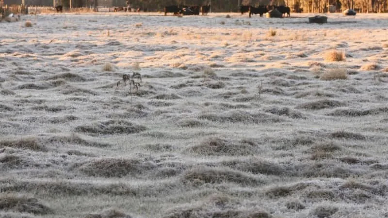
It was a rare sight in Tampa Bay Friday morning when some residents walked outside to frost-tipped grass and the coldest temperatures of the new year.
Likely the chilliest air of the season blew through the area Thursday night, leading to a freezing morning in many spots in Tampa Bay and near-freezing closer to the water.
While frigid weather is rare in Tampa Bay, all the familiar signs of a Florida cold snap were there:
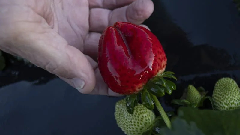
Farmers monitored precious crops. Manatees congregated in the ever-temperate waters in Crystal Springs. And residents bundled up against the rare, bone-chilling cold.

Areas like Crystal River, Inverness and Brooksville all dipped into the mid and lower 20s Friday morning, according to temperature data from the National Weather Service showing areas below freezing.
In Hillsborough County, the mercury plunged into the upper 20s in Plant City and around 30 in Tampa. Pasco ranged from the mid 20s to the low 30s in some spots. And while many in Tampa Bay dipped below freezing, no Pinellas County spots fell below 32 degrees, according to the weather service.
Forecasters had warned of wind chills that could make outside temperatures feel even brisker.
Around 7 a.m., feels-like temperatures had dipped into the upper 30s at St. Pete-Clearwater International Airport and plummeted to the mid-20s at MacDill Air Force Base, weather service data showed.

Forecasters said temperatures in some spots were expected plunge to the coldest they’ve been since the area had a rare, wintry Christmas in 2022.
Forecasters expect Tampa Bay’s highs will struggle to reach 60 degrees on Friday. There will likely be a slight warm up on Saturday, quickly followed by another cold front Sunday.
In northern areas of the state there’s a chance a small patch of Floridians could evensee flurries this weekend.
By Monday, temperatures will once again flirt with freezing, but may not be quite cold as Friday morning. High daytime temperatures are expected to return to the lows 70s, which is near the average normal, by mid-week.