Frigid polar air arrives Tuesday morning with temperatures well below average through the week.
ST. PETERSBURG, Fla. — A strong push of frigid polar air will arrive in Tampa Bay late Monday night, bringing a significant drop in temperatures across the region.
Morning lows are expected to fall toward the 30s on Tuesday and Wednesday, with highs throughout the week struggling to reach the 50s and 60s.
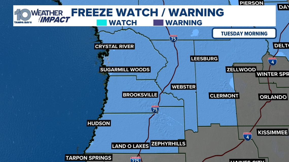
The Freeze Watch for Pasco, Hernando and Citrus counties is in effect for Tuesday morning and may be upgraded to a Freeze Warning as the cold persists.
Gusty northerly winds behind the front will enhance the chill and could create localized hazards along the Nature Coast. This cold air will remain entrenched through the week, reinforcing freezing conditions each morning and keeping daytime temperatures well below normal.

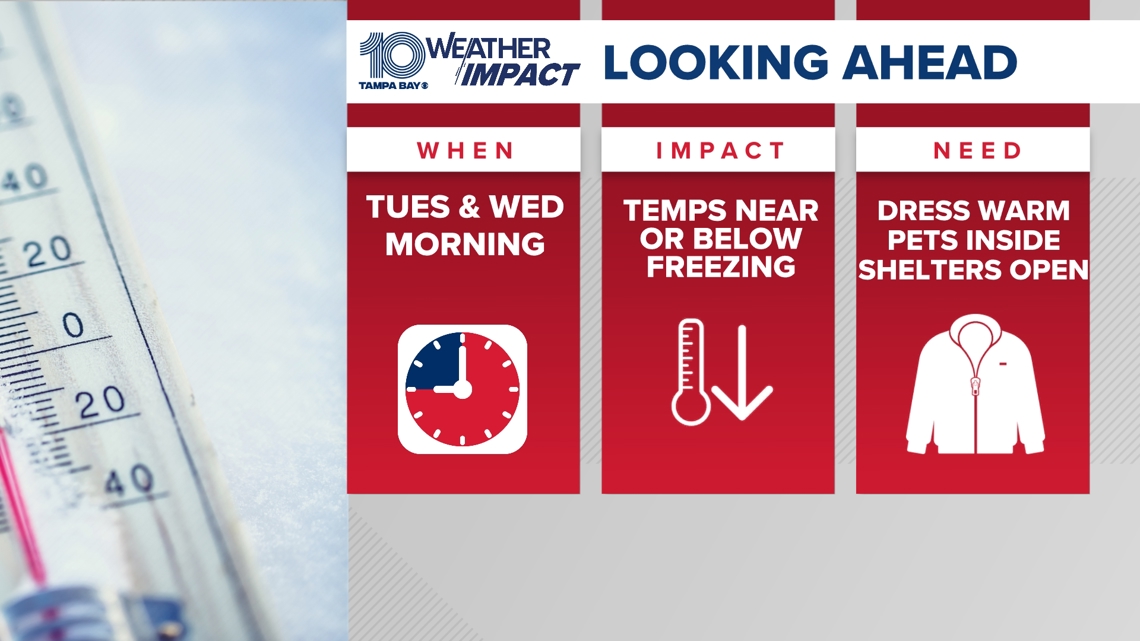
WHEN: Cold air arrives late Monday night, with temperatures dropping below freezing Tuesday and Wednesday mornings.
IMPACT: Freezing temperatures could damage sensitive plants, outdoor pets, and unprotected pipes, while gusty winds may make conditions feel even colder.
NEED: Cover or bring in plants, keep pets indoors, and take precautions for pipes and outdoor items. Stay updated on forecasts as the cold persists.