
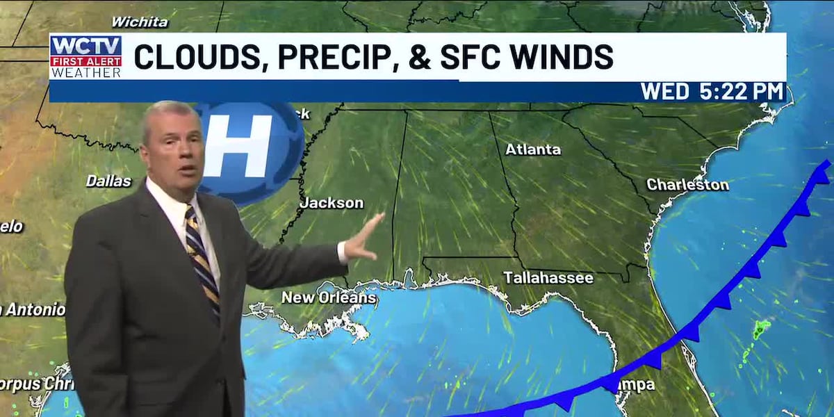
TALLAHASSEE, Fla. (WCTV) – The cool and dry weather is expected to continue heading into the weekend.
A cold front moved through the area this morning. The cold front only brought a few clouds early this morning before leaving the area. This has lead to a wonderful Wednesday across North Florida and South Georgia.
If you have any outdoor plans this evening, temperatures will be in the 70s for many. No rain or clouds.
Tonight, the chilly nights begin. Temperatures will fall into the 40s as high pressure keeps skies clear and winds calm. It will definitely be jacket weather tomorrow morning.
Sunny skies continue in Thursday afternoon bringing highs into the low 80s once again.
Friday and Saturday look great too. Sunshine and dry. The bad news with this, the drought conditions will remain severe to extreme with lack of rain over the next few days.
Better rain chances do move in late Sunday and Monday. This will not be a widespread, everyone gets wet type of setup, but we will take what rain we can get.
⬇️To see your local weather 24/7, check out the WCTV First Alert Weather Now live stream below ⬇️
To stay updated on all the latest forecasts and weather, follow WCTV First Alert Weather on Facebook and X (Twitter).
Click here to see all the latest weather headlines and here to view the First Alert Radar. Receive push alerts and watch the latest forecast anytime on the free WCTV First Alert Weather app. Click here to download it now.
Interested in becoming a WCTV First Alert Weather Watcher? Click here to join the team!
Copyright 2025 WCTV. All rights reserved.