
TAMPA, Fla. – Tropical Storm Melissa is expected to strengthen into a hurricane as it moves over warmer waters in the Caribbean Sea by the end of this weekend.
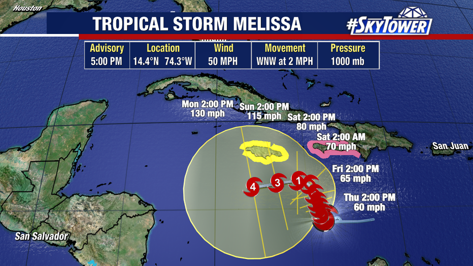
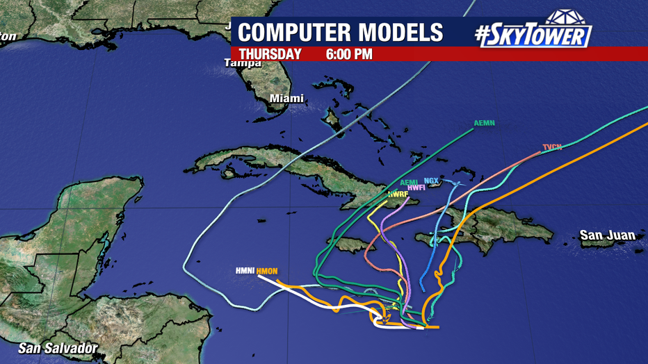
As you can tell by the cone, there is a wide range of places this storm may track over the next five days. Competing steering currents are tugging Melissa in different directions, keeping the track slow and uncertain in the short term.
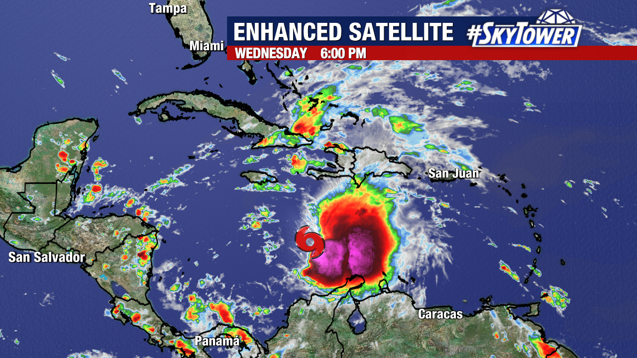
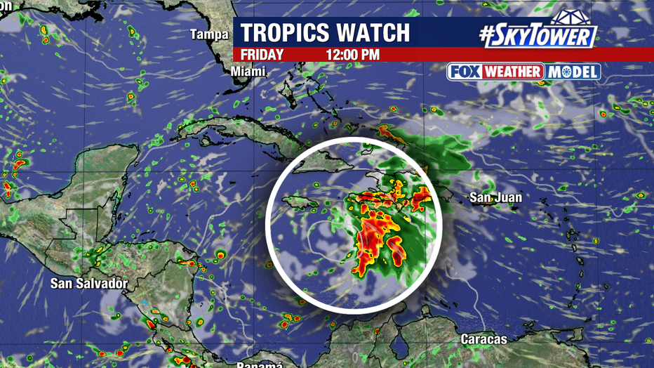
As of Wednesday evening, it was located at 14.4°N 74.3°W, which is about 300 miles to the south-southwest of Port-au-Prince, Haiti.
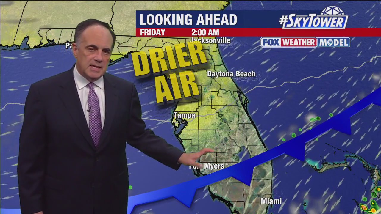
Weather models are slowly beginning to agree on an eventual north-northeast turn. Steering keeps Melissa south and east of Florida for now. From Tampa Bay’s view, it is something to watch, not to stress over.
READ: Applications open for Pinellas People First hurricane recovery programs
The big question is when will that turn come, and how close will this storm travel to the nearby islands.
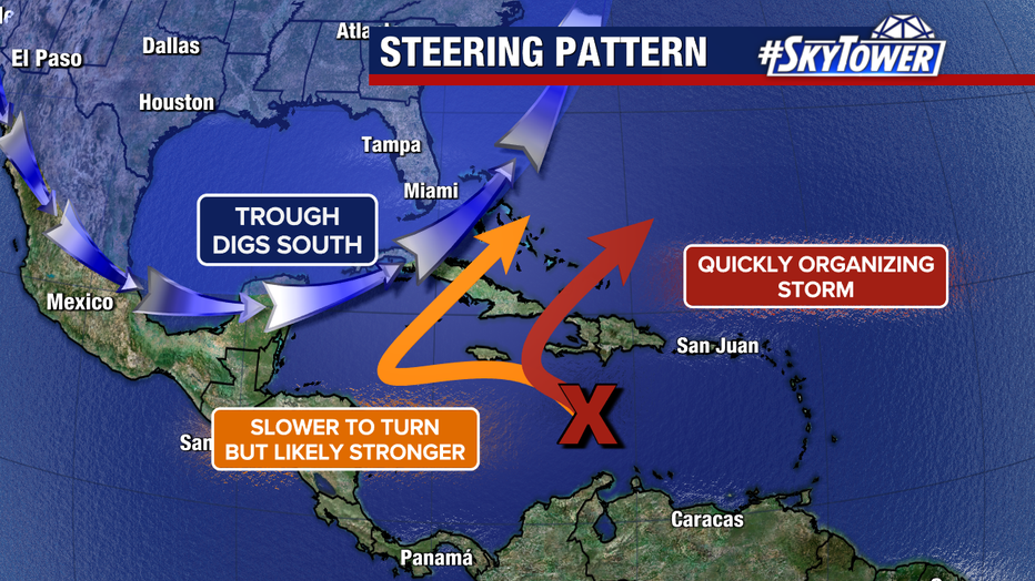
Two likely scenarios have emerged in the last day. Melissa could organize quickly and move northeast within five days or so. Melissa could also move slowly west and strengthen, eventually leaving the Caribbean after a week or longer.
A Hurricane Watch is in effect for portions of Haiti and a Tropical Storm Watch is active for Jamaica.

Melissa’s slow movement will provide these islands with an increased risk of flooding and mudslides in the days ahead.
The National Hurricane Center said that hurricane conditions are possible within the watch area in Haiti starting later Thursday, and tropical storm conditions are possible in Jamaica by Thursday or Friday.
Melissa is the 13th named storm of the 2025 Atlantic hurricane season.
The Source: This article was written with information from FOX 13 Meteorologist Jim Weber’s forecast, the National Hurricane Center and FOX Weather.