
A steady stretch of weather has begun. Distant High Pressure will keep all of Florida “free of fronts” this week along with a preview of spring. The spring season officially begins on March 20th, by the way.
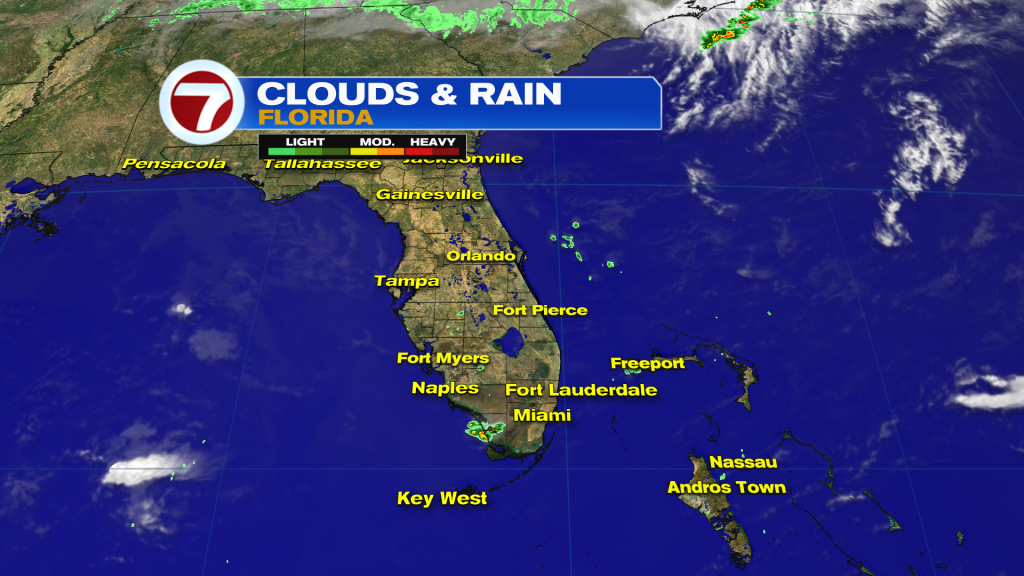
Florida won’t be completely dry and we may see occasional rain bands, just as this radar image shows from late Monday. As the onshore flow continues, future showers will track east to west (and tend to move along rather quickly). We’ll also see patches of clouds arriving off the Atlantic Ocean. Unfortunately, that’s not great news when it comes to viewing the Total Lunar Eclipse early Tuesday morning. It’s likely you’ll need to look between some broken clouds.
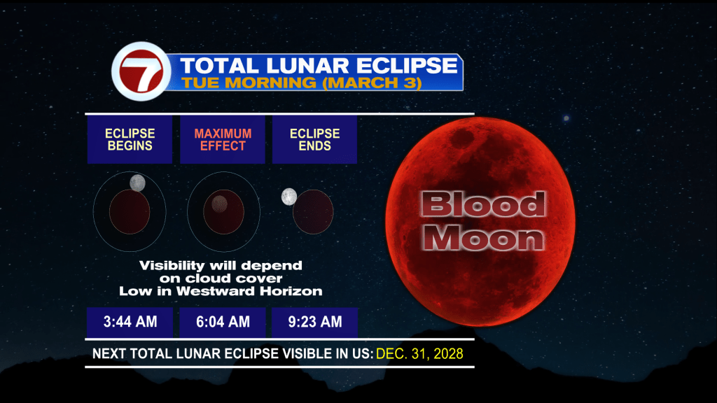
The totality, or maximum effect of the eclipse, will occur low on the horizon (looking west) around the time of sunrise Tuesday, just after 6 AM. At that time, the scattering of light (in the atmosphere) will make the moon appear reddish in color. The eclipse happens as earth is positioned between the sun and moon, temporarily casting a shadow. If you sleep late and miss the sight, the next total lunar eclipse isn’t until New Year’s Eve 2028!
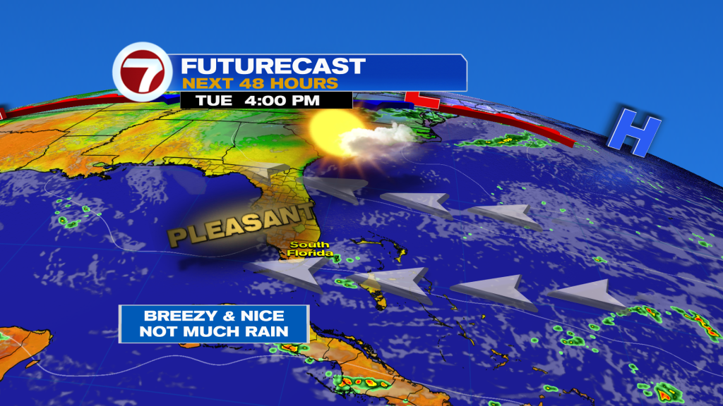
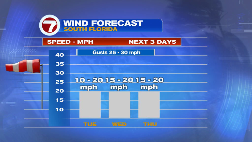
The Tuesday weather map shows another pleasant day in store. Only a few small and isolated showers are possible, moving along the swift breeze. As High Pressure migrates into the western Atlantic during the day, winds will get stronger and turn more gusty. It’s still the “early innings” of this windy pattern. Here’s a check on winds through the middle of the week (below). Be aware that the windy stretch will continue into the upcoming weekend, impacting beaches with rip currents.
Copyright 2025 Sunbeam Television Corp. All rights reserved. This material may not be published, broadcast, rewritten or redistributed.
Join our Newsletter for the latest news right to your inbox