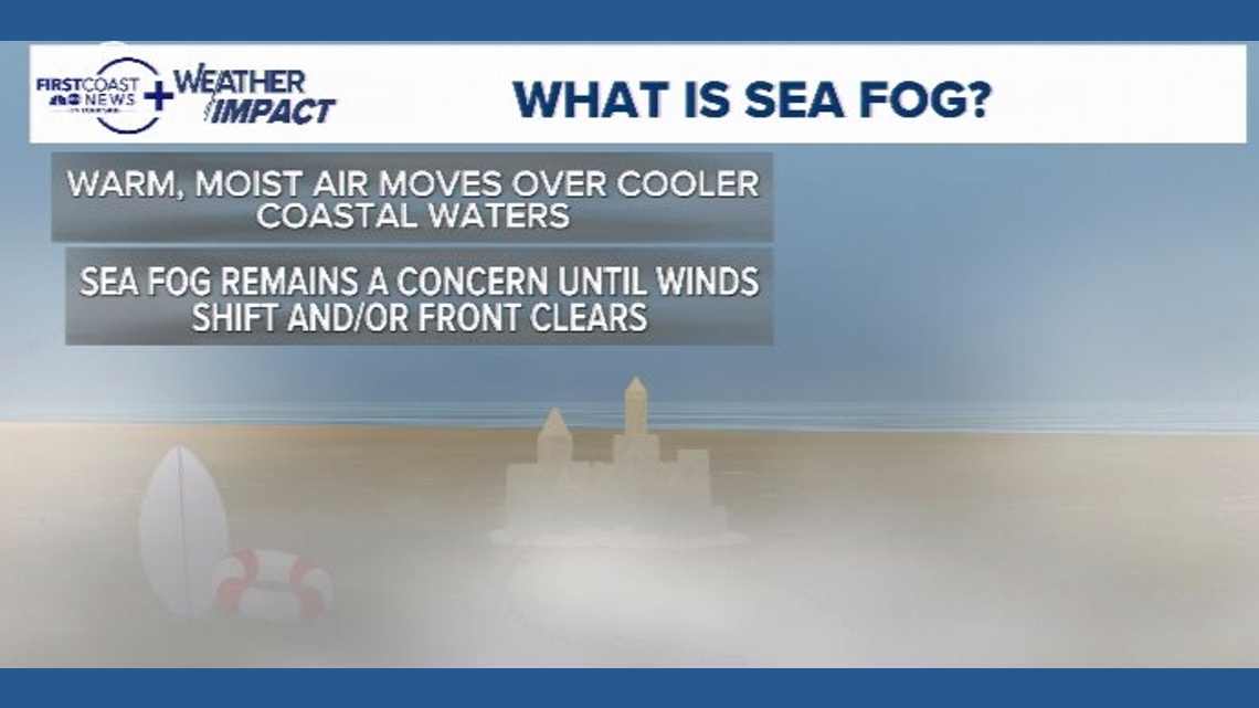
Sea fog, also known as advection fog, differs from typical overnight radiation fog.
JACKSONVILLE, Fla. — A stretch of persistent sea fog has settled along the coast in recent days, reducing visibility and creating cool, gray mornings that show little sign of quickly clearing.
What makes sea fog much more stubborn than your typical overnight radiational fog?
Unlike typical overnight radiation fog, which forms under calm skies and often burns off after sunrise, sea fog can linger for days when the broader weather pattern remains unchanged. This is because sea fog, also known as advection fog, develops when warm, moist air moves over cooler ocean waters. As the air cools to its dew point, condensation forms near the surface, creating dense fog over the water that can drift inland.
This process differs from radiation fog, which forms overnight as the ground cools and chills the air directly above it. Radiation fog typically dissipates once daytime heating begins and winds increase. Sea fog, however, is driven more by wind direction and water temperature than by nighttime cooling alone.

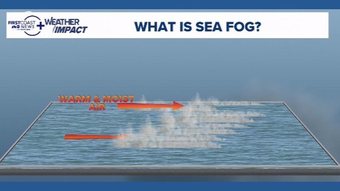
The current pattern has steady easterly winds along the coast. These onshore breezes transport relatively warm, humid air over cooler nearshore waters, allowing fog to develop and persist. Water temperatures this time of year also continue to remain cool into the 50s.
As long as winds continue from the east, the fog is likely to redevelop during the overnight and morning hours and may push inland at times. Because the source region, being cooler ocean water, remains in place, daytime sunshine is often not enough to fully scour it out, especially near the beaches.
This also may continue to keep temperatures near the shoreline cooler compared to inland areas due to the marine influence.