
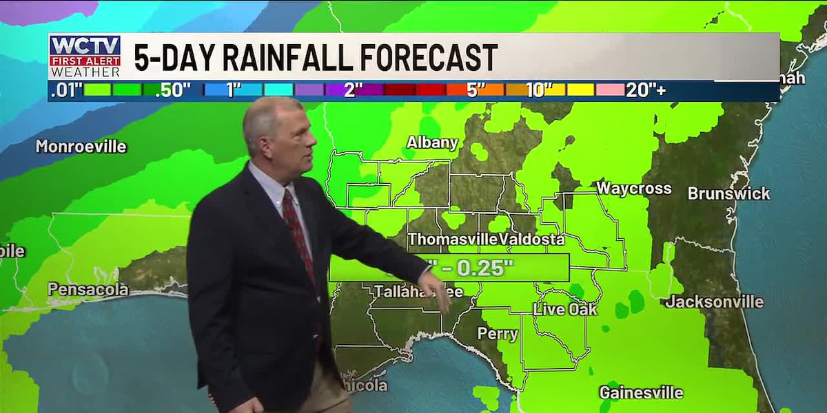
TALLAHASSEE, Fla. (WCTV) – Our unusually warm weather pattern is getting more humid, enough so that a few afternoon or evening sea breeze aided showers will occur the next several days.
They won’t be nearly as strong and widespread as our typical summertime sea breeze showers and storms, but a little bit of welcome rainfall will be possible. The best chances will be over the eastern parts of our area, where the Gulf and Atlantic sea breezes run into each other, but stray showers are still possible elsewhere.
The other weather item to watch out for will be late-night and early morning fog, which will also be around for at least the next three or four days. Morning lows will stay near 60 and afternoon highs will reach the low to mid 80s inland, and low to mid 70s near the coast.
The pattern will be stuck at least into early next week, but there are sign that a cold front will give us better rain chances and some cooler temperatures by the end of next week.
To keep up with the latest news as it develops, follow WCTV on Facebook, Instagram, YouTube, Nextdoor and X (Twitter).
Have a news tip or see an error? Write to us here. Please include the article’s headline in your message.
Be the first to see all the biggest headlines by downloading the WCTV News app. Click here to get started.
Copyright 2026 WCTV. All rights reserved.